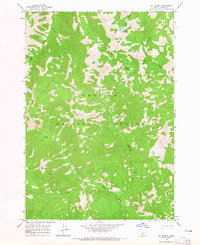
1964 Map of Mt Jordan
USGS Topo · Published 1965About this map
Challis National Forest dominates this mid-1960s landscape, a high-elevation backcountry environment defined by steep drainage basins and alpine peaks. Several notable summits provide landmarks for navigators and surveyors, including the prominent Mt Jordan, Red Mountain, and the uniquely named The General. The map reveals a history of mineral exploration through the identification of Prospects located near the northeast corner, suggesting a period when small-scale mining efforts were active in the vicinity of Jordan Creek.
Find a feature on this map
16 named features on this map. Tap any name to fly to it.
Don’t see what you’re looking for? This feature index may not catch every label — zoom into the map to look around manually.
Map Details
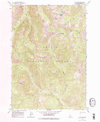
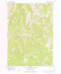
Editions of this 1964 Mt Jordan Map
3 editions found
Other maps of this area

1919 · Custer
USGS Topo · 1:125,000

1922 · Custer
USGS Topo · 1:125,000

1930 · Casto
USGS Topo · 1:125,000

1957 · Challis
USGS Topo · 1:250,000

1960 · Challis
USGS Topo · 1:250,000

1963 · Challis
USGS Topo · 1:250,000

1963 · Pinyon Peak
USGS Topo · 1:24,000

1963 · Custer
USGS Topo · 1:24,000

1963 · Casto
USGS Topo · 1:24,000

1963 · Basin Butte
USGS Topo · 1:24,000