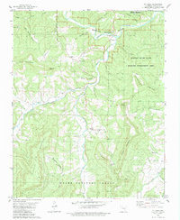
1980 Map of Mt Judea
USGS Topo · Published 1984About this map
Mt Judea and Piercetown serve as focal points in this rugged section of the Ozarks, where the Buffalo National River snakes through steep valleys in the north. The landscape is defined by its deep drainages, including Big Creek and the Left Fork, which are flanked by prominent heights like Judea Mountain and Ricketts Mountain. Local life is anchored in a network of small churches and family burial grounds, such as Piercetown Community Ch and Sexton Cem.
Find a feature on this map
49 named features on this map. Tap any name to fly to it.
Don’t see what you’re looking for? This feature index may not catch every label — zoom into the map to look around manually.
Map Details
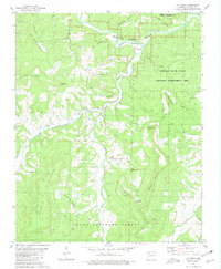
Editions of this 1980 Mt Judea Map
2 editions found
Other maps of this area

1892 · Marshall
USGS Topo · 1:125,000

1893 · Yellville
USGS Topo · 1:125,000

1894 · Marshall
USGS Topo · 1:125,000

1901 · Marshall
USGS Topo · 1:125,000

1903 · Yellville
USGS Topo · 1:125,000

1904 · Harrison
USGS Topo · 1:125,000

1905 · Harrison
USGS Topo · 1:125,000

1905 · Yellville
USGS Topo · 1:125,000

1929 · Yellville
USGS Topo · 1:125,000

1933 · Mt Judea
USGS Topo · 1:62,500