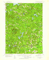
1957 Map of Mt. Pawtuckaway
USGS Topo · Published 1959About this map
Pawtuckaway State Reservation and its surrounding peaks, including Mt Pawtuckaway, anchor this landscape in southeastern New Hampshire. The 1957 revision captures a transition in rural life, where long-standing agriculture and forest management at Nottingham State Forest and Abbott State Forest coexist with a growing recreational culture evidenced by numerous summer camps like Camp Yavneh and Camp Speedwell.
Find a feature on this map
123 named features on this map. Tap any name to fly to it.
Don’t see what you’re looking for? This feature index may not catch every label — zoom into the map to look around manually.
Map Details
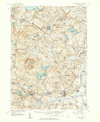
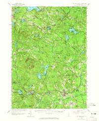
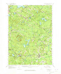
Editions of this 1957 Mt. Pawtuckaway Map
4 editions found
Other maps of this area

1888 · Newburyport
USGS Topo · 1:62,500

1888 · Haverhill
USGS Topo · 1:62,500

1890 · Haverhill
USGS Topo · 1:62,500

1890 · Newburyport
USGS Topo · 1:62,500

1891 · Berwick
USGS Topo · 1:62,500

1893 · Dover
USGS Topo · 1:62,500

1893 · Berwick
USGS Topo · 1:62,500

1893 · Haverhill
USGS Topo · 1:62,500

1894 · Newburyport
USGS Topo · 1:62,500

1905 · Manchester
USGS Topo · 1:62,500