
1933 Map of Mt. Powell
USGS Topo · Published 1933About this map
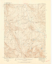
Mt Powell and the Gore Range dominate this high-altitude landscape during the early 1930s, showing a region where ranching and early mountain schools defined the community. Isolated outposts such as the Noonen Ranch, Smith Ranch, and the remote Sheephorn PO appear alongside established family homesteads like Abbott Place and Dontz Place. The survey highlights the essential infrastructure of rural education with the Upper Sheephorn Sch and Lakeside Sch situated amidst the complex drainage systems of Cataract Creek and the Blue River. The division between the Arapaho National Forest and Holy Cross National Forest underscores the era's land management, while features like Soda Springs and high-basin waters such as Eagles Mere Lakes and Tipperary Lake illustrate the primary water sources for these upland settlements.
Find a feature on this map
62 named features on this map. Tap any name to fly to it.
Don’t see what you’re looking for? This feature index may not catch every label — zoom into the map to look around manually.
Map Details
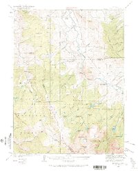
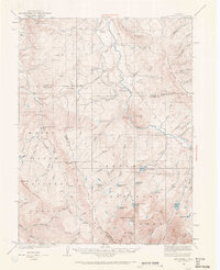
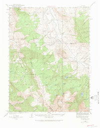
Editions of this 1933 Mt. Powell Map
5 editions found
Other maps of this area

1929 · Dillon
USGS Topo · 1:62,500

1933 · Ute Peak
USGS Topo · 1:62,500

1934 · Minturn
USGS Topo · 1:62,500

1934 · Dillon
USGS Topo · 1:62,500

1937 · Ute Peak
USGS Topo · 1:62,500

1940 · Mount Powell
USGS Topo · 1:62,500

1950 · Minturn
USGS Topo · 1:62,500

1954 · Craig
USGS Topo · 1:250,000

1956 · Kremmling
USGS Topo · 1:62,500

1956 · Gore Pass
USGS Topo · 1:62,500