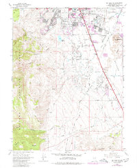
1969 Map of Mt. Rose NE
USGS Topo · Published 1980About this map
The expanding southern edge of Reno meets the high desert and mountain foothills in this late 1960s survey. The landscape is defined by the transition from urban infrastructure, including the Reno International Airport and its neighboring Air National Guard facility, to the managed waters of the Reno Golf Course and the Virginia Lake recreational area. A network of irrigation ditches and flumes serves the valley floor, supporting sites like the Washoe Fish Rearing Station and the Wheeler Ranch. To the southwest, the terrain rises sharply into the Toiyabe National Forest, where steep canyons like Whites Canyon contrast with the level plains of the Huffaker Hills. This period captures the city’s early southward reach, showing local landmarks like the Reno-Drive-in Theater alongside the working landscape of gravel pits and quarries near Rattlesnake Mtn.
Find a feature on this map
45 named features on this map. Tap any name to fly to it.
Don’t see what you’re looking for? This feature index may not catch every label — zoom into the map to look around manually.
Map Details
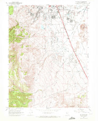
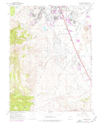
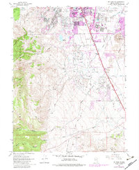
Editions of this 1969 Mt. Rose NE Map
4 editions found
Other maps of this area

1891 · Carson
USGS Topo · 1:125,000

1891 · Reno
USGS Topo · 1:125,000

1893 · Carson
USGS Topo · 1:125,000

1893 · Reno
USGS Topo · 1:125,000

1950 · Virginia City
USGS Topo · 1:62,500

1950 · Mt. Rose
USGS Topo · 1:62,500

1950 · Reno
USGS Topo · 1:62,500

1951 · Reno
USGS Topo · 1:62,500

1952 · Mt. Rose
USGS Topo · 1:62,500

1952 · Virginia City
USGS Topo · 1:62,500