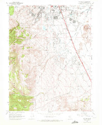
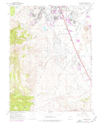
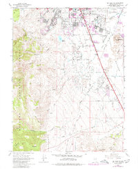
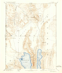
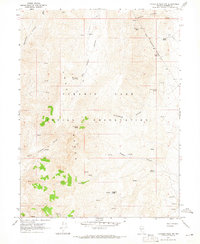
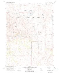
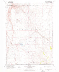
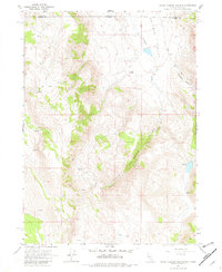
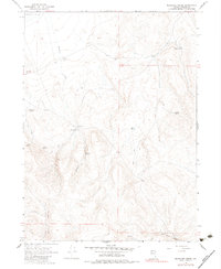
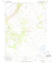
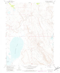
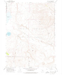
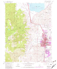
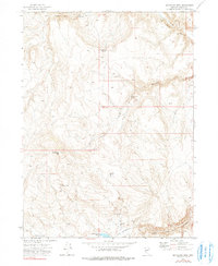
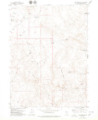
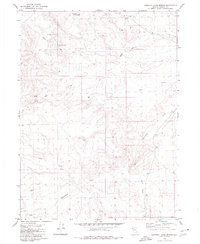
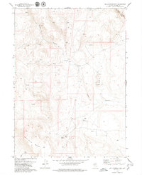
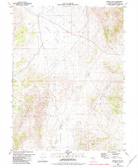
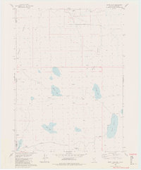
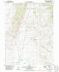
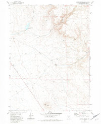
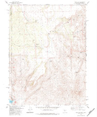
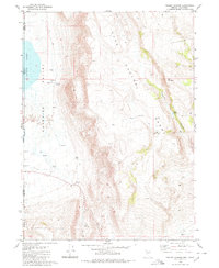
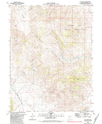
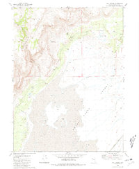
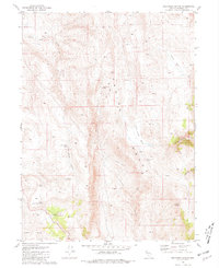
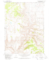
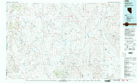
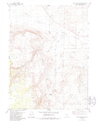
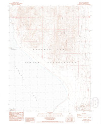
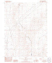
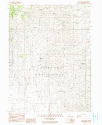
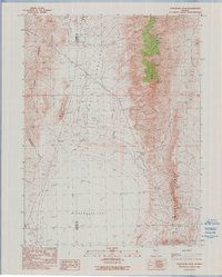
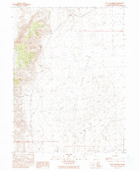
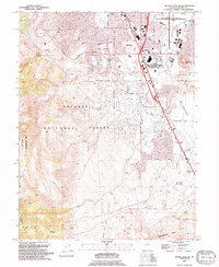
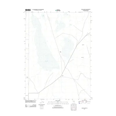
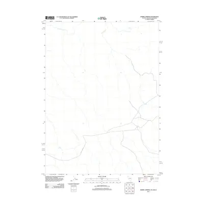
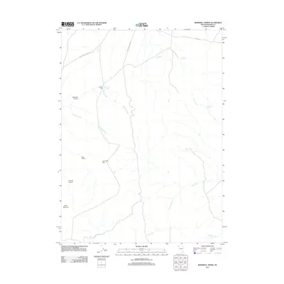
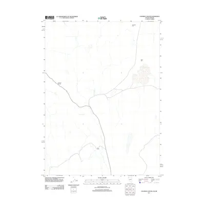
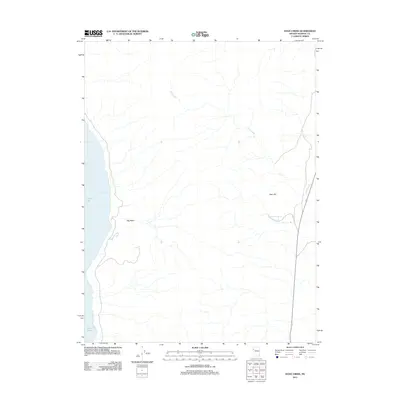
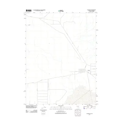
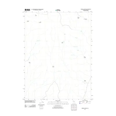
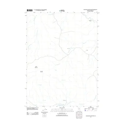
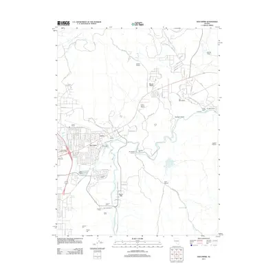
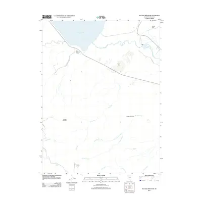
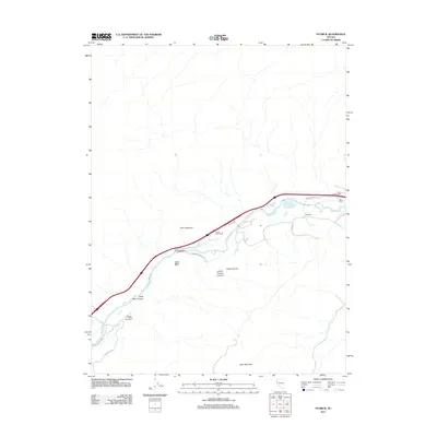
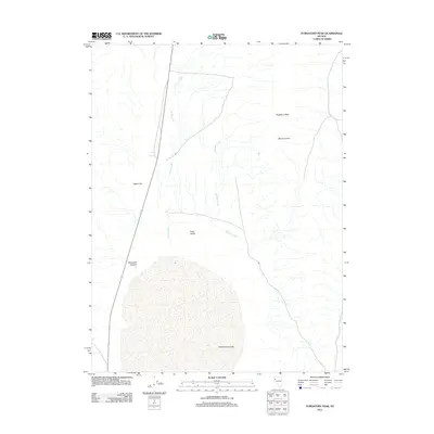
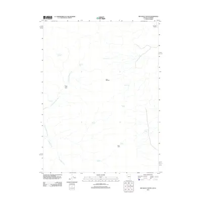
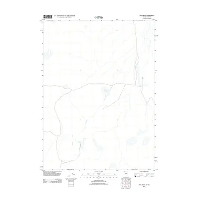
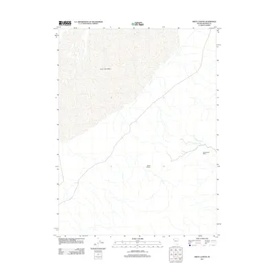
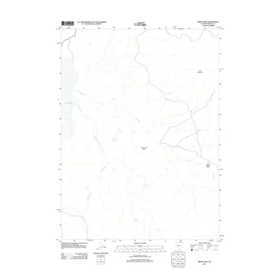
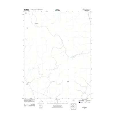
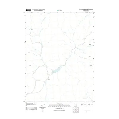
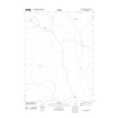
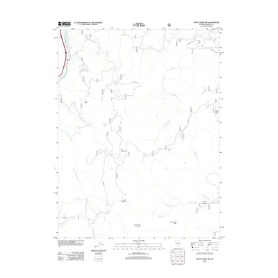
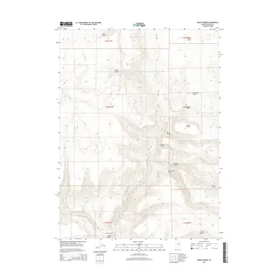
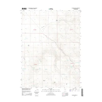
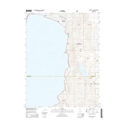
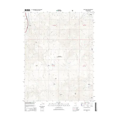
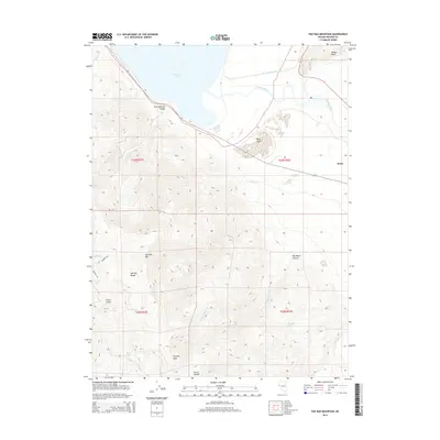
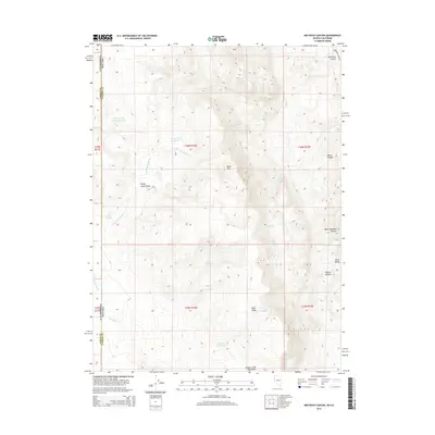
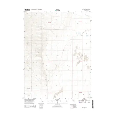
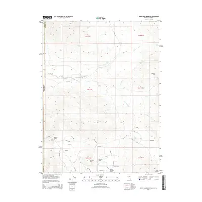
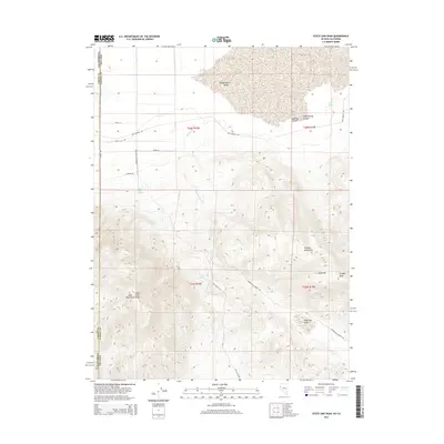
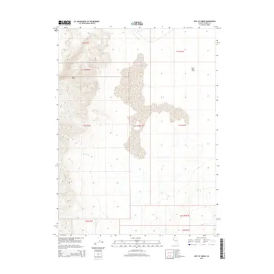
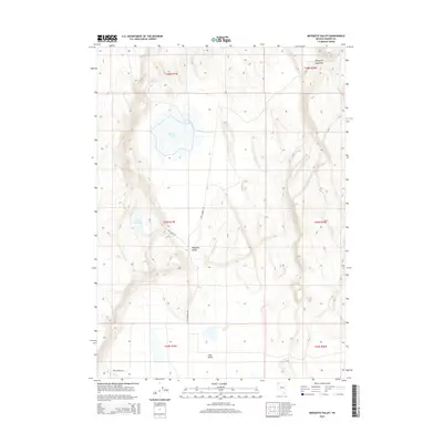
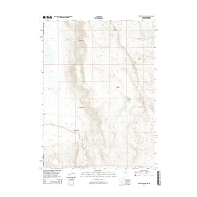
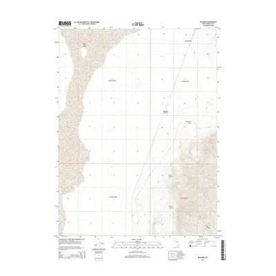
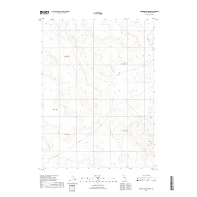
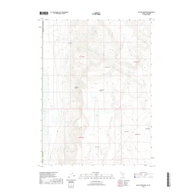
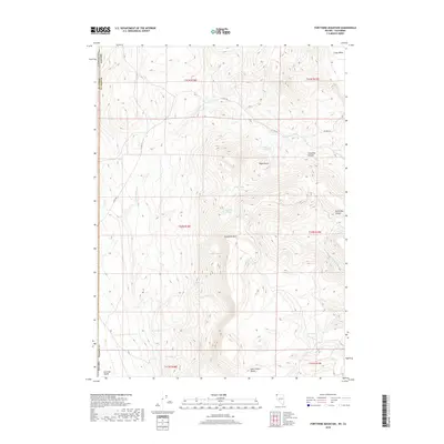
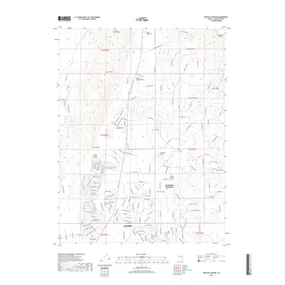
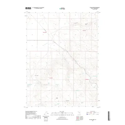
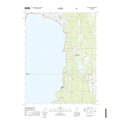
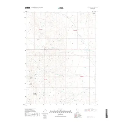
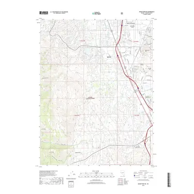
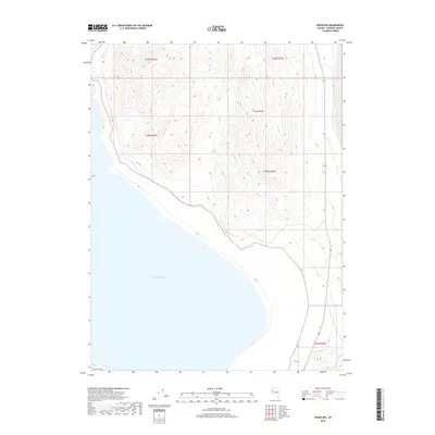
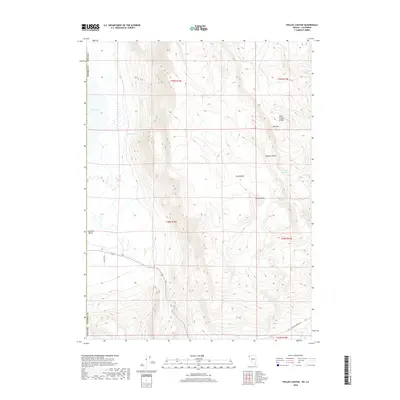
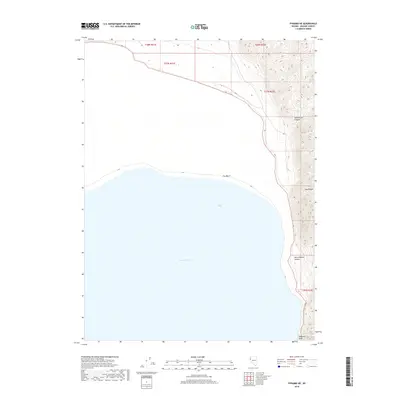
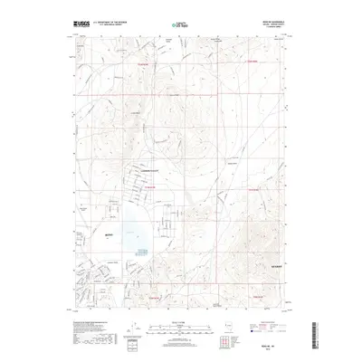
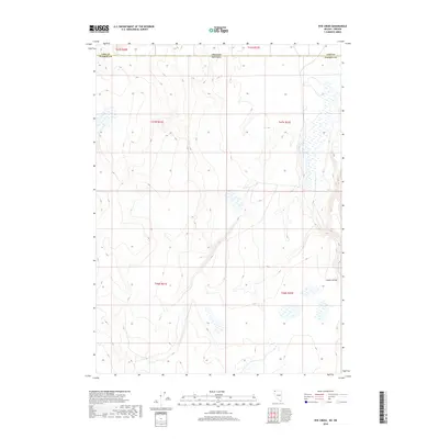
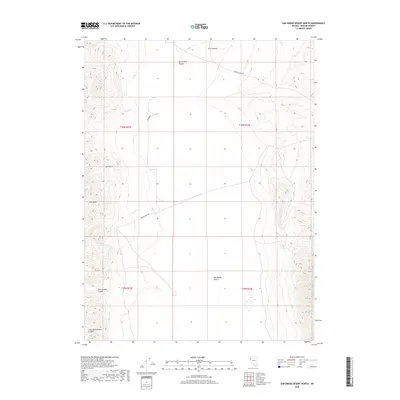
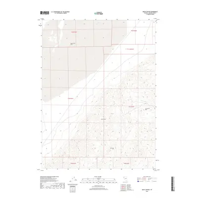
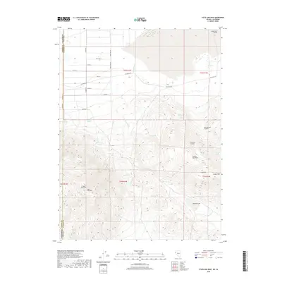
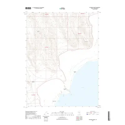
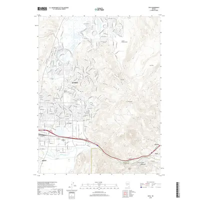
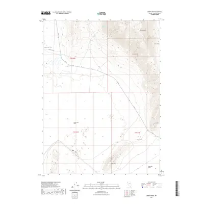
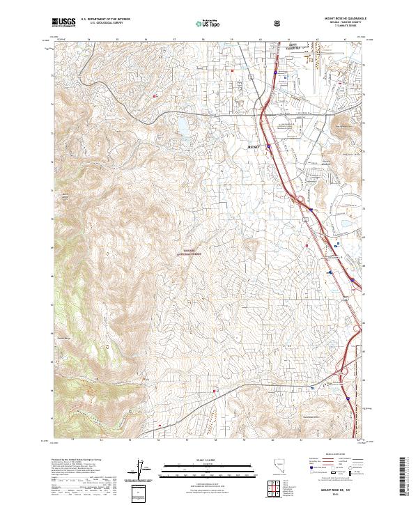
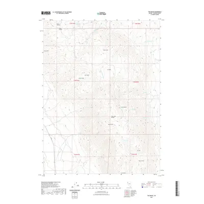
1969 Map of Mt. Rose NE
USGS Topo · Published 1972About this map
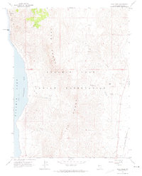
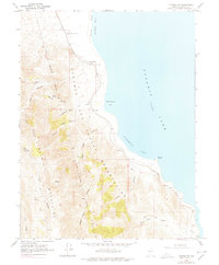
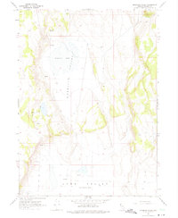
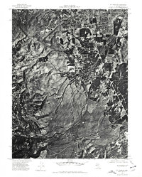
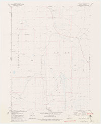
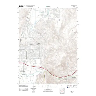
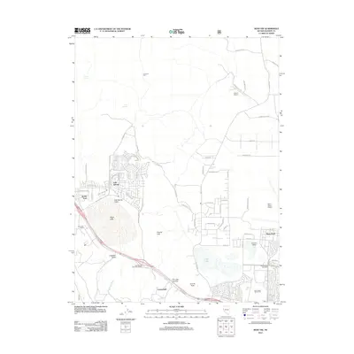
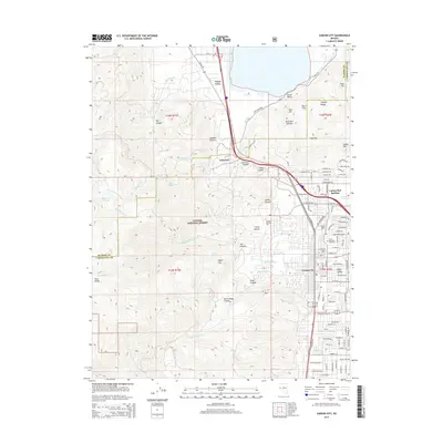
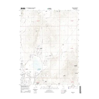
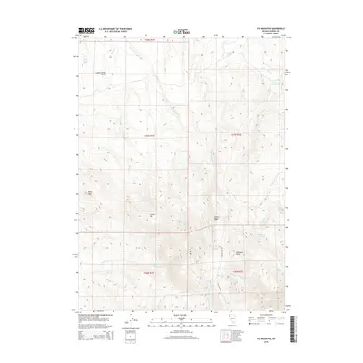
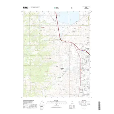
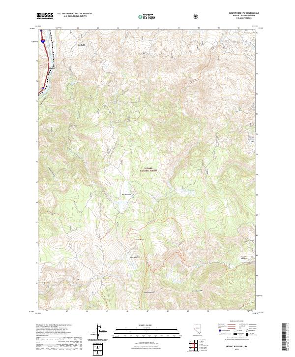
Reno expands southward into the Truckee Meadows in this late-1960s survey, showing a landscape of transition where suburban development meets long-established ranching and irrigation systems. The southern reaches of the city are defined by major thoroughfares like Virginia St and Kietzke Lane, alongside the sprawling Reno Municipal Airport and its Air National Guard facilities. To the west, the terrain rises sharply into the Toiyabe National Forest, where the complex hydrology of Steamboat Ditch and Wheeler Reservoir channels water through the foothills.
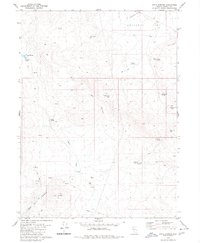
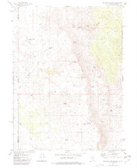
Find a feature on this map
62 named features on this map. Tap any name to fly to it.
Don’t see what you’re looking for? This feature index may not catch every label — zoom into the map to look around manually.
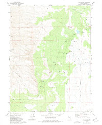
Map Details
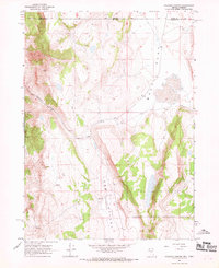
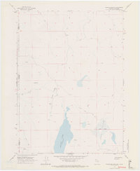
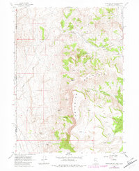
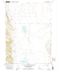
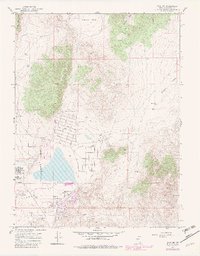
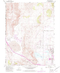
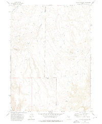
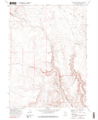
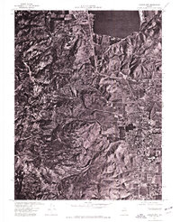
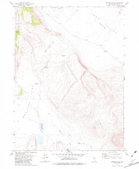
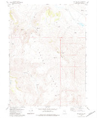
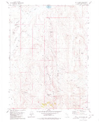
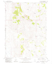
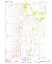
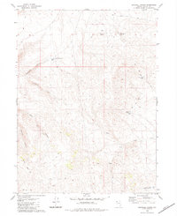
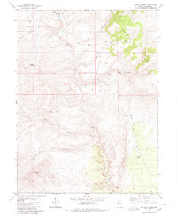
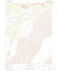
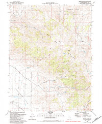
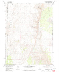
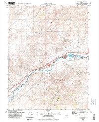
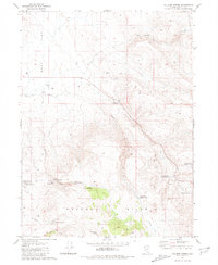
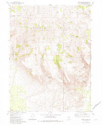
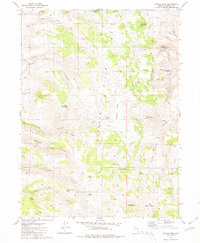
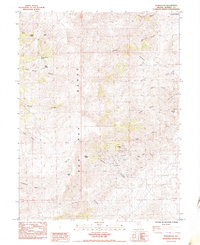
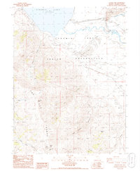
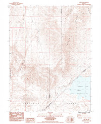
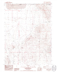
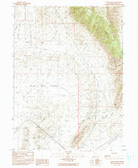
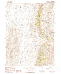
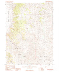
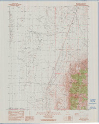
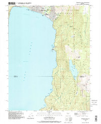
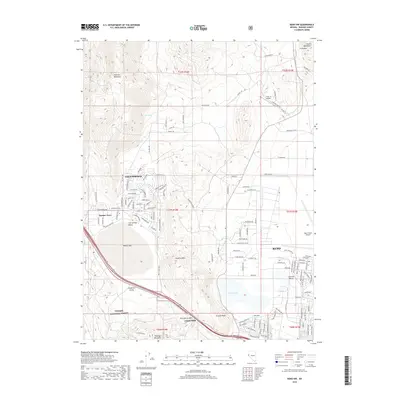
Editions of this 1969 Mt. Rose NE Map
4 editions found
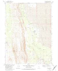
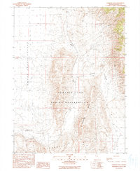
Historical Maps of Reno Through Time
597 maps found

1886 Granite Range
Washoe County, NV

1889 Long Valley
Washoe County, NV

1891 Carson
Washoe County, NV
1893 Carson City
Washoe County, NV
1894 Granite Range
Washoe County, NV
1950 Mt. Rose
Washoe County, NV

1952 Mt. Rose
Washoe County, NV
1955 Marlette Lake
Washoe County, NV
1957 Dogskin Mountain
Washoe County, NV
1957 Spanish Springs Valley
Washoe County, NV
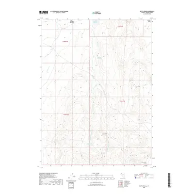
1957 Vista
Washoe County, NV
1958 Vya
Washoe County, NV

1962 Vya
Washoe County, NV
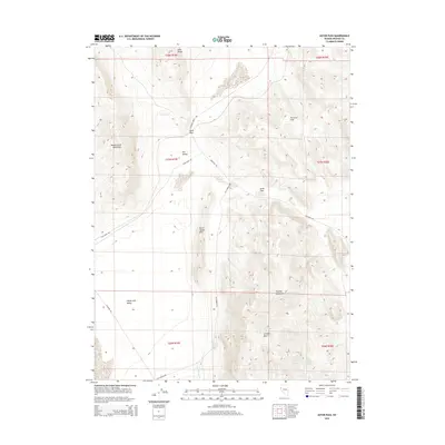
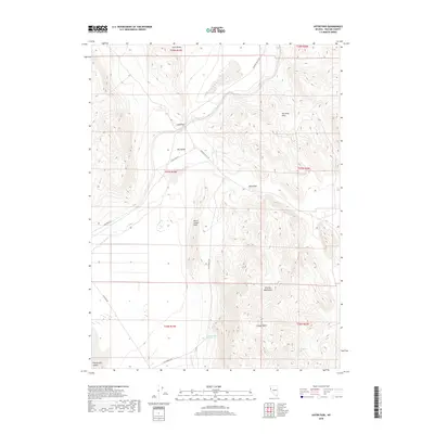
1964 Astor Pass
Washoe County, NV
1964 Dove Creek
Washoe County, NV
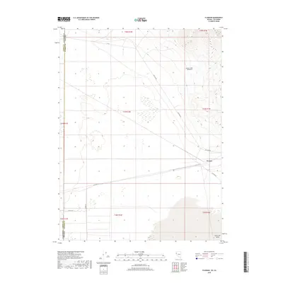
1964 Flanigan
Washoe County, NV
1964 Kumiva Peak
Washoe County, NV
1964 Pyramid NE
Washoe County, NV
1964 Pyramid SW
Washoe County, NV
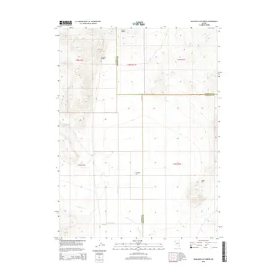
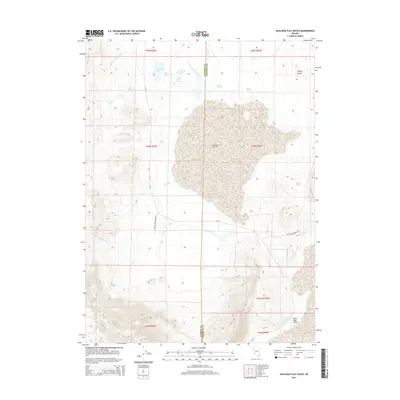
1964 Spanish Flat
Washoe County, NV
1964 State Line Peak
Washoe County, NV
1964 The Needle Rocks
Washoe County, NV
1964 Tohakum Peak NW
Washoe County, NV
1965 Fox Range
Washoe County, NV
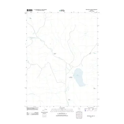
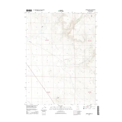
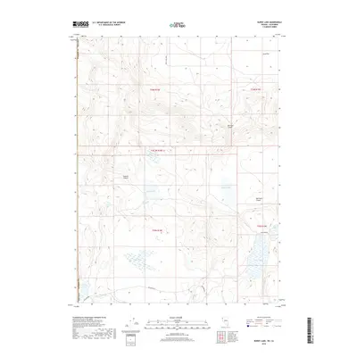
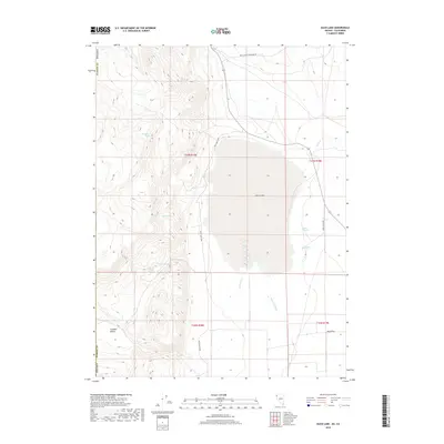
1966 Alkali Lake
Washoe County, NV
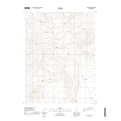
1966 Badger Mtn NW
Washoe County, NV
1966 Bald Mountain
Washoe County, NV
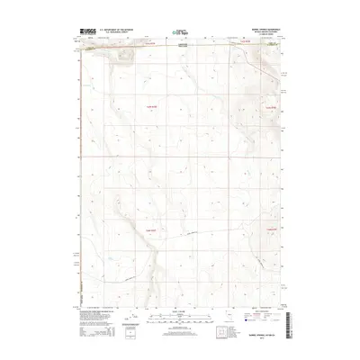
1966 Barrel Springs
Washoe County, NV
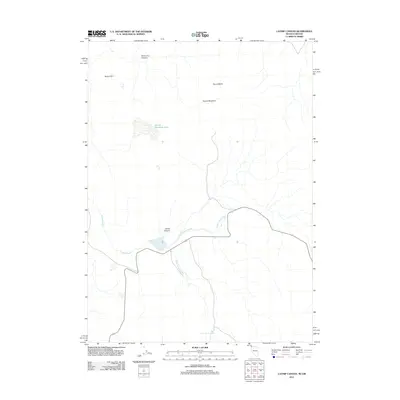
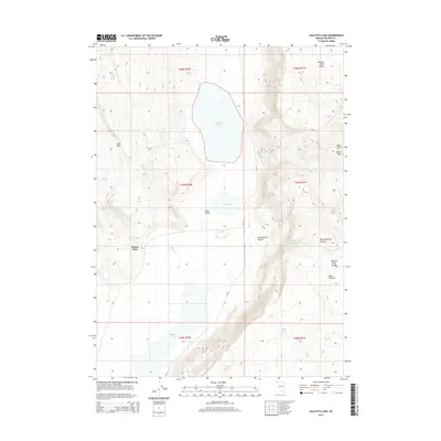
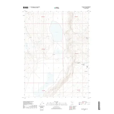
1966 Calcutta Lake
Washoe County, NV
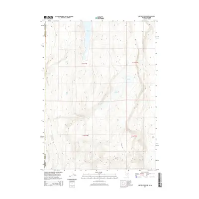
1966 Carter Reservoir
Washoe County, NV
1966 Catnip Canyon
Washoe County, NV
1966 Coleman Canyon
Washoe County, NV
1966 Crooks Meadow
Washoe County, NV
1966 Fortynine Mtn.
Washoe County, NV
1966 Little Coleman Canyon
Washoe County, NV
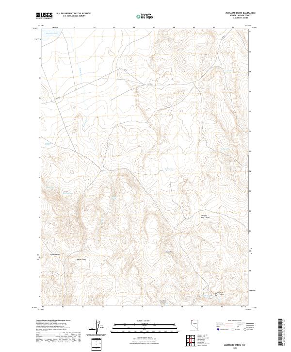
1966 Massacre Creek
Washoe County, NV
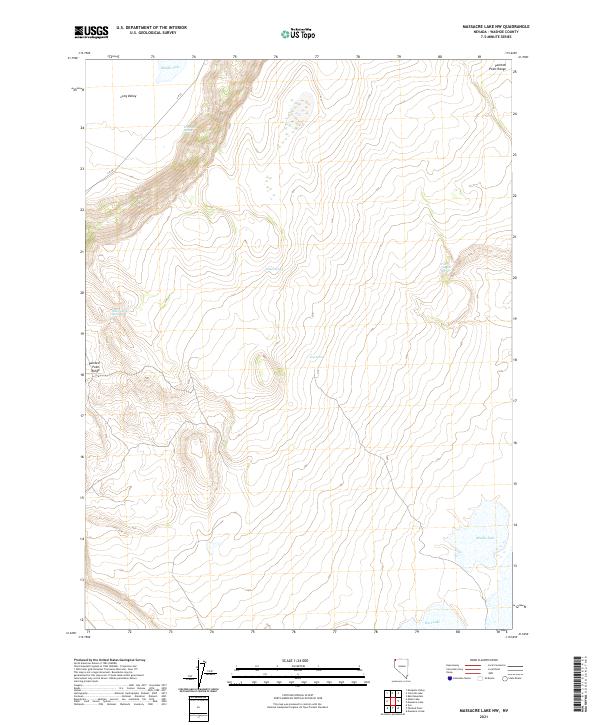
1966 Massacre Lake NW
Washoe County, NV
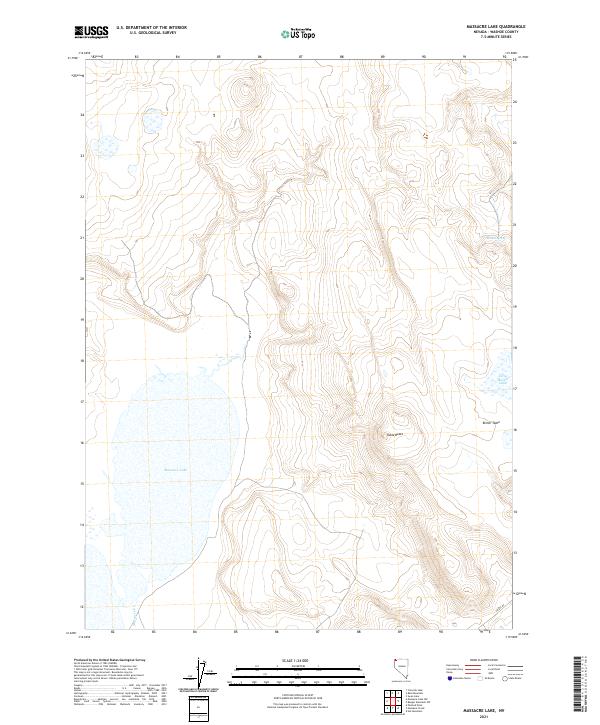
1966 Massacre Lake
Washoe County, NV
1966 Mosquito Valley
Washoe County, NV
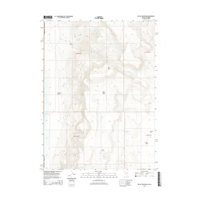
1966 Nut Mountain
Washoe County, NV
1966 Painted Point
Washoe County, NV
1966 Rye Creek
Washoe County, NV
1966 Swan Lake
Washoe County, NV
1966 Vya
Washoe County, NV
1967 Reno NE
Washoe County, NV
1967 Reno NW
Washoe County, NV

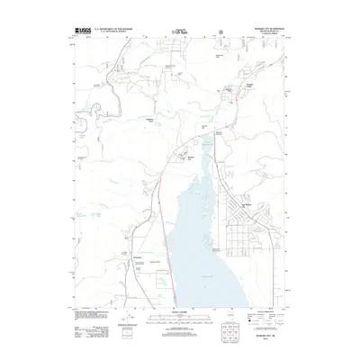
1967 Steamboat
Washoe County, NV
1968 Carson City
Washoe County, NV
1968 Mt. Rose NW
Washoe County, NV
1968 Mt. Rose
Washoe County, NV
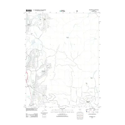
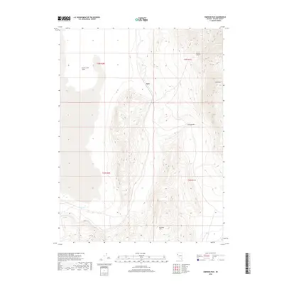
1968 New Empire
Washoe County, NV
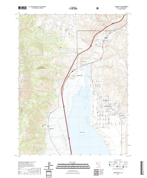
1968 Washoe City
Washoe County, NV
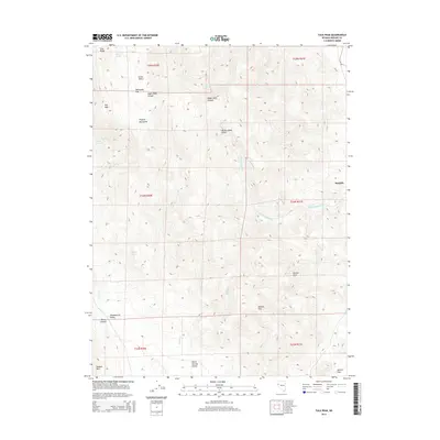
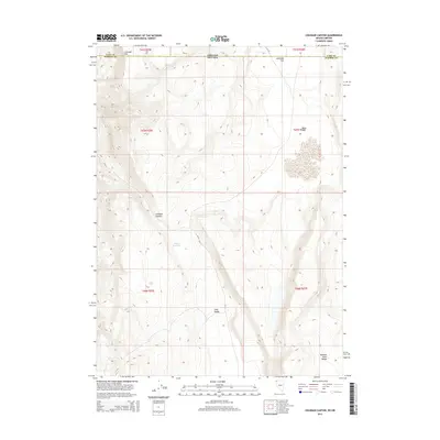
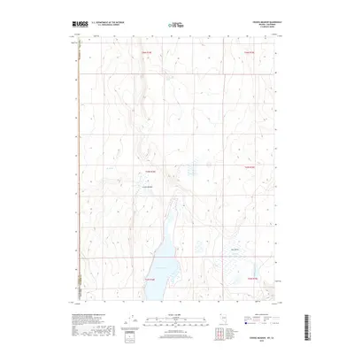
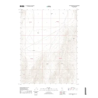
1969 Mt. Rose NE
Washoe County, NV
1970 Patrick
Washoe County, NV
1972 High Rock Lake
Washoe County, NV
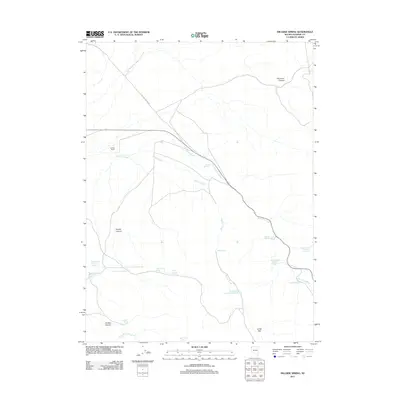
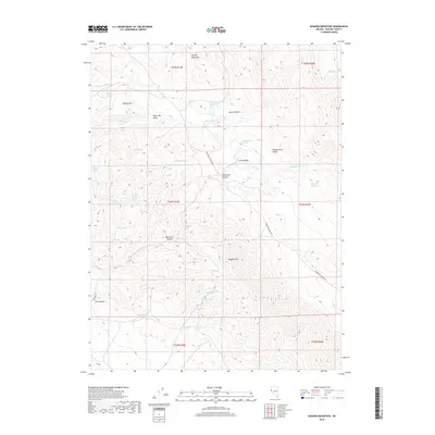
1972 Mahogany Mtn
Washoe County, NV
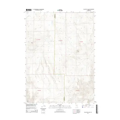
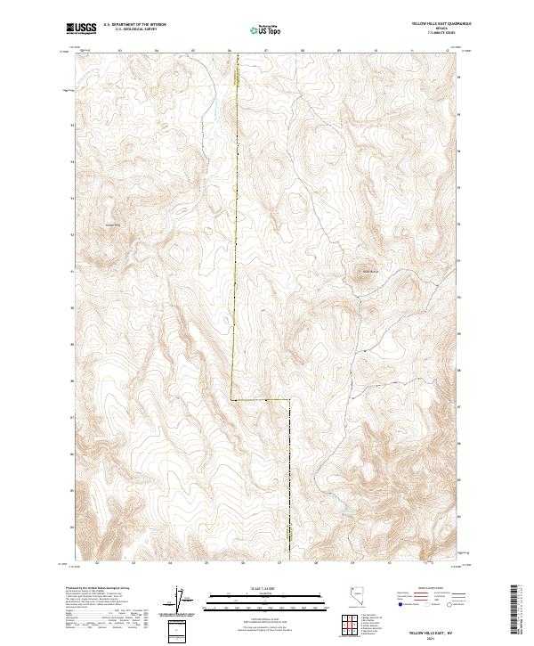
1972 Yellow Hills East
Washoe County, NV
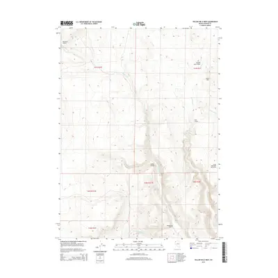
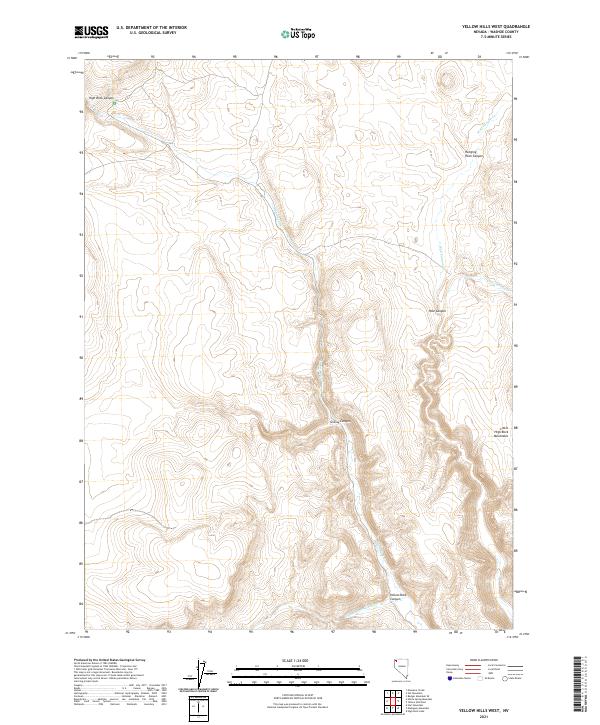
1972 Yellow Hills West
Washoe County, NV
1974 Carson City
Washoe County, NV
1974 Mt. Rose NE
Washoe County, NV
1974 New Empire
Washoe County, NV
1974 Washoe City
Washoe County, NV
1975 Vista
Washoe County, NV
1978 Hart Mountain
Washoe County, NV
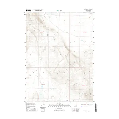
1979 Boulder Lake
Washoe County, NV
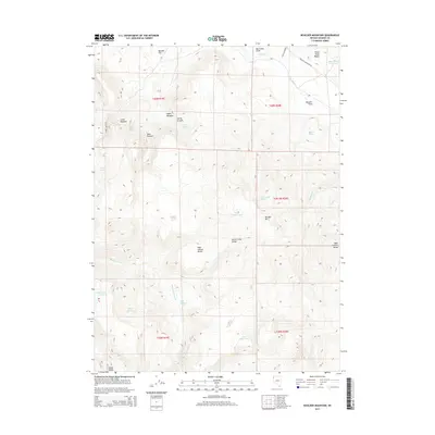
1979 Boulder Mtn.
Washoe County, NV
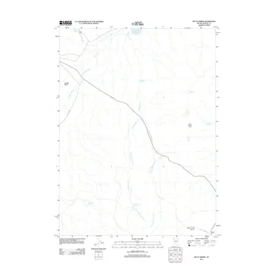
1979 Butte Spring
Washoe County, NV
1979 Chester Lyons Spring
Washoe County, NV
1979 Dogskin Mtn
Washoe County, NV
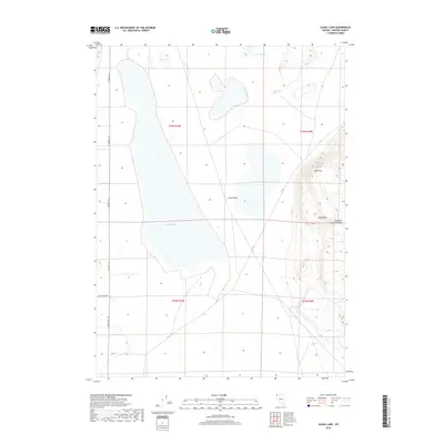
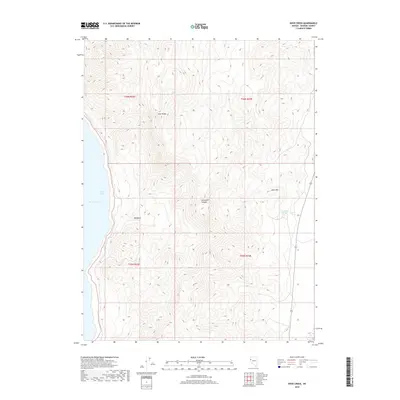
1979 Duck Lake
Washoe County, NV
1979 Hays Canyon
Washoe County, NV
1979 Nellie Spring Mtn
Washoe County, NV
1979 Pinto Springs
Washoe County, NV
1979 Powers Well
Washoe County, NV
1979 Wall Canyon Reservoir
Washoe County, NV
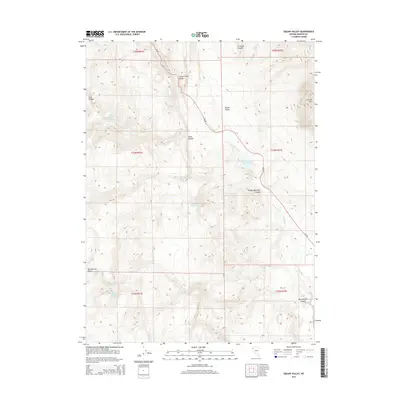
1980 Bedell Flat
Washoe County, NV
1980 Big Hat Mtn
Washoe County, NV
1980 Bordwell Spring
Washoe County, NV
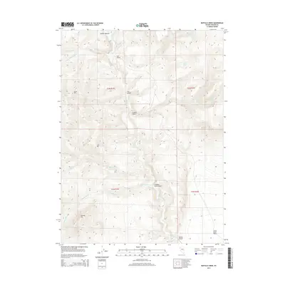
1980 Buffalo Creek
Washoe County, NV
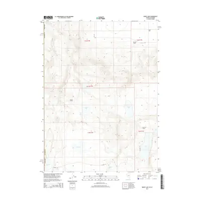
1980 Burnt Lake
Washoe County, NV
1980 Fox Mountain
Washoe County, NV
1980 Fraser Flat
Washoe County, NV
1980 Granite Peak
Washoe County, NV
1980 Griffith Canyon
Washoe County, NV
1980 Hog Spring
Washoe County, NV

1980 Hole In The Ground
Washoe County, NV
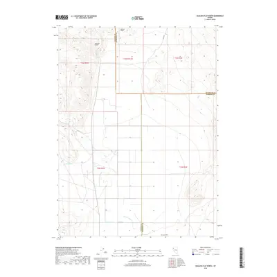
1980 Hualapai Flat North
Washoe County, NV
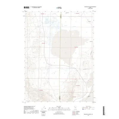
1980 Hualapai Flat South
Washoe County, NV
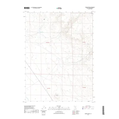
1980 Juniper Springs
Washoe County, NV
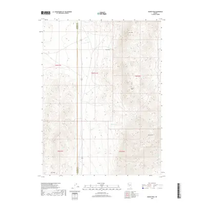
1980 Leadville
Washoe County, NV
1980 Lost Creek Pass
Washoe County, NV
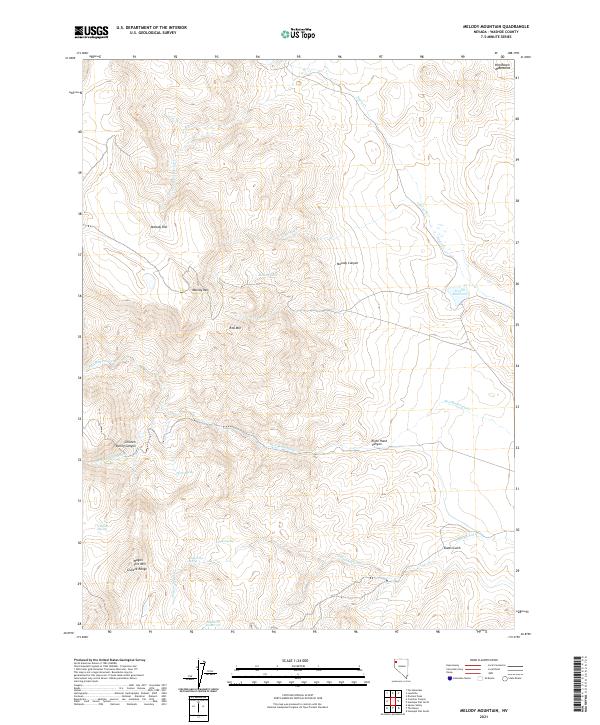
1980 Melody Mountain
Washoe County, NV
1980 Mixie Flat
Washoe County, NV
1980 Moses Rock
Washoe County, NV
1980 Parker Canyon
Washoe County, NV
1980 Patrick
Washoe County, NV
1980 Pegleg Canyon
Washoe County, NV
1980 Red Rock Canyon
Washoe County, NV
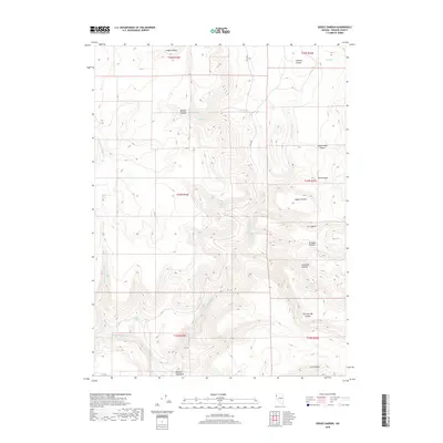
1980 Salt Marsh
Washoe County, NV
1980 Sand Pass
Washoe County, NV
1980 Smith Canyon
Washoe County, NV
1980 Smoke Creek Ranch
Washoe County, NV
1980 Spanish Springs Peak
Washoe County, NV
1980 The Banjo
Washoe County, NV
1980 Tule Peak
Washoe County, NV
1980 Wall Spring
Washoe County, NV
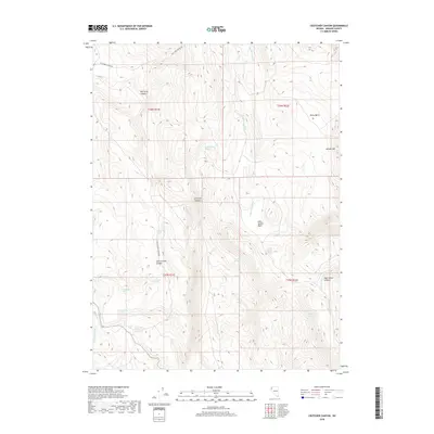
1981 Crutcher Canyon
Washoe County, NV
1981 Eddies Garden
Washoe County, NV
1981 High Rock Canyon
Washoe County, NV
1981 Hillside Spring
Washoe County, NV
1981 Horse Canyon
Washoe County, NV
1981 Poodle Mtn
Washoe County, NV
1981 Rye Patch Canyon
Washoe County, NV
1981 Sheepshead Spring
Washoe County, NV
1981 Squaw Valley
Washoe County, NV
1984 Kumiva Peak
Washoe County, NV
1985 Nixon NW
Washoe County, NV
1985 Olinghouse
Washoe County, NV
1985 Pah Rah Mtn
Washoe County, NV
1985 Two Tips
Washoe County, NV
1986 Juniper Peak
Washoe County, NV
1986 Russell Peak
Washoe County, NV
1987 Vya
Washoe County, NV
1990 Emerson Pass
Washoe County, NV
1990 Fox Canyon
Washoe County, NV
1990 Godeys Rock
Washoe County, NV
1990 Kumiva Peak
Washoe County, NV
1990 Pah-Rum Peak
Washoe County, NV
1990 Purgatory Peak
Washoe County, NV
1990 Reynard
Washoe County, NV
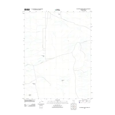
1990 San Emidio Desert North
Washoe County, NV
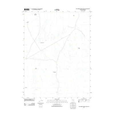
1990 San Emidio Desert South
Washoe County, NV
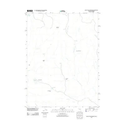
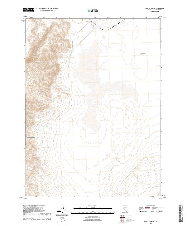
1990 West of Empire
Washoe County, NV
1992 Marlette Lake
Washoe County, NV
1992 Mount Rose
Washoe County, NV
1994 Carson City
Washoe County, NV
1994 Mount Rose NE
Washoe County, NV
1994 New Empire
Washoe County, NV
1994 Steamboat
Washoe County, NV
1994 Washoe City
Washoe County, NV
2011 Alkali Lake
Washoe County, NV
2011 Astor Pass
Washoe County, NV
2011 Badger Mountain NW
Washoe County, NV
2011 Bald Mountain
Washoe County, NV
2011 Barrel Springs
Washoe County, NV
2011 Bedell Flat
Washoe County, NV
2011 Big Hat Mountain
Washoe County, NV
2011 Big Sawmill Canyon
Washoe County, NV
2011 Bordwell Spring
Washoe County, NV
2011 Boulder Lake
Washoe County, NV

2011 Boulder Mountain
Washoe County, NV
2011 Buffalo Creek
Washoe County, NV
2011 Burnt Lake
Washoe County, NV
2011 Butte Spring
Washoe County, NV
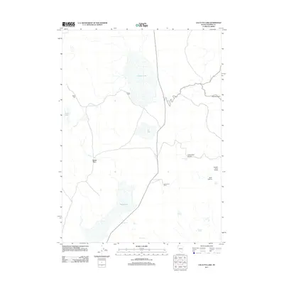
2011 Calcutta Lake
Washoe County, NV
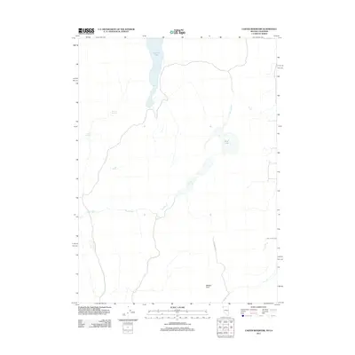
2011 Carter Reservoir
Washoe County, NV
2011 Catnip Canyon
Washoe County, NV

2011 Chester Lyons Spring
Washoe County, NV
2011 Coleman Canyon
Washoe County, NV
2011 Crooks Meadow
Washoe County, NV
2011 Crutcher Canyon
Washoe County, NV
2011 Dogskin Mountain
Washoe County, NV
2011 Dove Creek
Washoe County, NV
2011 Duck Lake
Washoe County, NV
2011 Eddies Garden
Washoe County, NV
2011 Emerson Pass
Washoe County, NV
2011 Flanigan
Washoe County, NV
2011 Fortynine Mountain
Washoe County, NV
2011 Fox Canyon
Washoe County, NV

2011 Fox Mountain
Washoe County, NV
2011 Fraser Flat
Washoe County, NV

2011 Godeys Rock
Washoe County, NV
2011 Granite Peak
Washoe County, NV
2011 Griffith Canyon
Washoe County, NV
2011 Hart Mountain
Washoe County, NV
2011 Hays Canyon
Washoe County, NV
2011 High Rock Lake
Washoe County, NV
2011 Hillside Spring
Washoe County, NV
2011 Hog Spring
Washoe County, NV
2011 Hole In The Ground
Washoe County, NV
2011 Horse Canyon
Washoe County, NV
2011 Hualapai Flat North
Washoe County, NV
2011 Hualapai Flat South
Washoe County, NV

2011 Juniper Peak
Washoe County, NV
2011 Juniper Springs
Washoe County, NV
2011 Kumiva Peak
Washoe County, NV
2011 Leadville
Washoe County, NV
2011 Little Coleman Canyon
Washoe County, NV
2011 Lost Creek Pass
Washoe County, NV
2011 Mahogany Mountain
Washoe County, NV
2011 Massacre Creek
Washoe County, NV
2011 Massacre Lake NW
Washoe County, NV
2011 Massacre Lake
Washoe County, NV

2011 Melody Mountain
Washoe County, NV
2011 Mixie Flat
Washoe County, NV
2011 Moses Rock
Washoe County, NV
2011 Mosquito Valley
Washoe County, NV
2011 Nellie Spring Mountain
Washoe County, NV
2011 New Empire
Washoe County, NV
2011 Nixon NW
Washoe County, NV
2011 Nut Mountain
Washoe County, NV
2011 Olinghouse
Washoe County, NV
2011 Pah Rah Mountain
Washoe County, NV
2011 Pah-Rum Peak
Washoe County, NV
2011 Painted Point
Washoe County, NV
2011 Parker Canyon
Washoe County, NV
2011 Patrick
Washoe County, NV
2011 Pegleg Canyon
Washoe County, NV
2011 Pinto Springs
Washoe County, NV
2011 Poodle Mountain
Washoe County, NV

2011 Powers Well
Washoe County, NV
2011 Purgatory Peak
Washoe County, NV
2011 Pyramid NE
Washoe County, NV
2011 Pyramid SE
Washoe County, NV
2011 Pyramid SW
Washoe County, NV
2011 Red Rock Canyon
Washoe County, NV
2011 Reno NE
Washoe County, NV
2011 Reynard
Washoe County, NV
2011 Russell Peak
Washoe County, NV
2011 Rye Creek
Washoe County, NV
2011 Rye Patch Canyon
Washoe County, NV
2011 Salt Marsh
Washoe County, NV
2011 Sand Pass
Washoe County, NV
2011 San Emidio Desert North
Washoe County, NV
2011 San Emidio Desert South
Washoe County, NV
2011 Seven Lakes Mountain
Washoe County, NV
2011 Sheepshead Spring
Washoe County, NV
2011 Smith Canyon
Washoe County, NV
2011 Smoke Creek Ranch
Washoe County, NV

2011 Spanish Flat
Washoe County, NV
2011 Spanish Springs Peak
Washoe County, NV
2011 State Line Peak
Washoe County, NV
2011 Swan Lake
Washoe County, NV
2011 The Banjo
Washoe County, NV
2011 The Needle Rocks
Washoe County, NV
2011 Tohakum Peak NW
Washoe County, NV
2011 Tule Peak
Washoe County, NV
2011 Two Tips
Washoe County, NV
2011 Vista
Washoe County, NV
2011 Vya
Washoe County, NV
2011 Wall Canyon Reservoir
Washoe County, NV
2011 Wall Spring
Washoe County, NV
2011 West of Empire
Washoe County, NV
2011 Yellow Hills East
Washoe County, NV
2011 Yellow Hills West
Washoe County, NV
2012 Carson City
Washoe County, NV
2012 Marlette Lake
Washoe County, NV
2012 Mount Rose NE
Washoe County, NV
2012 Mount Rose NW
Washoe County, NV

2012 Mount Rose
Washoe County, NV
2012 Reno NW
Washoe County, NV
2012 Steamboat
Washoe County, NV
2012 Washoe City
Washoe County, NV
2014 Astor Pass
Washoe County, NV

2014 Bedell Flat
Washoe County, NV
2014 Big Sawmill Canyon
Washoe County, NV
2014 Buffalo Creek
Washoe County, NV
2014 Burnt Lake
Washoe County, NV
2014 Carson City
Washoe County, NV
2014 Crutcher Canyon
Washoe County, NV
2014 Dogskin Mountain
Washoe County, NV
2014 Dove Creek
Washoe County, NV
2014 Eddies Garden
Washoe County, NV
2014 Emerson Pass
Washoe County, NV
2014 Flanigan
Washoe County, NV
2014 Fox Canyon
Washoe County, NV
2014 Fraser Flat
Washoe County, NV
2014 Godeys Rock
Washoe County, NV
2014 Granite Peak
Washoe County, NV
2014 Griffith Canyon
Washoe County, NV
2014 Hillside Spring
Washoe County, NV
2014 Hog Spring
Washoe County, NV
2014 Hole In The Ground
Washoe County, NV
2014 Horse Canyon
Washoe County, NV
2014 Hualapai Flat North
Washoe County, NV
2014 Hualapai Flat South
Washoe County, NV
2014 Juniper Peak
Washoe County, NV
2014 Kumiva Peak
Washoe County, NV
2014 Marlette Lake
Washoe County, NV
2014 Melody Mountain
Washoe County, NV
2014 Moses Rock
Washoe County, NV
2014 Mount Rose NE
Washoe County, NV
2014 Mount Rose NW
Washoe County, NV
2014 Mount Rose
Washoe County, NV
2014 New Empire
Washoe County, NV
2014 Nixon NW
Washoe County, NV
2014 Pah Rah Mountain
Washoe County, NV
2014 Parker Canyon
Washoe County, NV
2014 Patrick
Washoe County, NV
2014 Poodle Mountain
Washoe County, NV
2014 Purgatory Peak
Washoe County, NV
2014 Pyramid NE
Washoe County, NV
2014 Pyramid SE
Washoe County, NV
2014 Pyramid SW
Washoe County, NV
2014 Red Rock Canyon
Washoe County, NV
2014 Reno NE
Washoe County, NV
2014 Russell Peak
Washoe County, NV
2014 Rye Patch Canyon
Washoe County, NV
2014 Salt Marsh
Washoe County, NV
2014 Sand Pass
Washoe County, NV
2014 San Emidio Desert North
Washoe County, NV
2014 San Emidio Desert South
Washoe County, NV
2014 Seven Lakes Mountain
Washoe County, NV
2014 Sheepshead Spring
Washoe County, NV
2014 Smoke Creek Ranch
Washoe County, NV
2014 Spanish Springs Peak
Washoe County, NV
2014 State Line Peak
Washoe County, NV
2014 The Banjo
Washoe County, NV
2014 The Needle Rocks
Washoe County, NV
2014 Tohakum Peak NW
Washoe County, NV
2014 Tule Peak
Washoe County, NV
2014 Two Tips
Washoe County, NV
2014 Wall Spring
Washoe County, NV
2014 Washoe City
Washoe County, NV
2014 West of Empire
Washoe County, NV
2015 Alkali Lake
Washoe County, NV
2015 Badger Mountain NW
Washoe County, NV
2015 Bald Mountain
Washoe County, NV
2015 Barrel Springs
Washoe County, NV
2015 Big Hat Mountain
Washoe County, NV

2015 Bordwell Spring
Washoe County, NV
2015 Boulder Lake
Washoe County, NV
2015 Boulder Mountain
Washoe County, NV

2015 Butte Spring
Washoe County, NV
2015 Calcutta Lake
Washoe County, NV
2015 Carter Reservoir
Washoe County, NV
2015 Catnip Canyon
Washoe County, NV
2015 Chester Lyons Spring
Washoe County, NV
2015 Coleman Canyon
Washoe County, NV
2015 Crooks Meadow
Washoe County, NV
2015 Duck Lake
Washoe County, NV
2015 Fortynine Mountain
Washoe County, NV
2015 Fox Mountain
Washoe County, NV
2015 Hart Mountain
Washoe County, NV
2015 Hays Canyon
Washoe County, NV
2015 High Rock Lake
Washoe County, NV
2015 Juniper Springs
Washoe County, NV
2015 Leadville
Washoe County, NV
2015 Little Coleman Canyon
Washoe County, NV
2015 Lost Creek Pass
Washoe County, NV
2015 Mahogany Mountain
Washoe County, NV

2015 Massacre Creek
Washoe County, NV
2015 Massacre Lake NW
Washoe County, NV
2015 Massacre Lake
Washoe County, NV
2015 Mixie Flat
Washoe County, NV
2015 Mosquito Valley
Washoe County, NV
2015 Nellie Spring Mountain
Washoe County, NV

2015 Nut Mountain
Washoe County, NV
2015 Olinghouse
Washoe County, NV
2015 Pah-Rum Peak
Washoe County, NV

2015 Painted Point
Washoe County, NV
2015 Pegleg Canyon
Washoe County, NV
2015 Pinto Springs
Washoe County, NV
2015 Powers Well
Washoe County, NV
2015 Reno NW
Washoe County, NV
2015 Reynard
Washoe County, NV
2015 Rye Creek
Washoe County, NV
2015 Smith Canyon
Washoe County, NV
2015 Spanish Flat
Washoe County, NV
2015 Steamboat
Washoe County, NV
2015 Swan Lake
Washoe County, NV
2015 Vista
Washoe County, NV

2015 Vya
Washoe County, NV
2015 Wall Canyon Reservoir
Washoe County, NV
2015 Yellow Hills East
Washoe County, NV
2015 Yellow Hills West
Washoe County, NV
2018 Alkali Lake
Washoe County, NV
2018 Astor Pass
Washoe County, NV
2018 Badger Mountain NW
Washoe County, NV
2018 Bald Mountain
Washoe County, NV
2018 Barrel Springs
Washoe County, NV
2018 Bedell Flat
Washoe County, NV
2018 Big Hat Mountain
Washoe County, NV
2018 Big Sawmill Canyon
Washoe County, NV
2018 Bordwell Spring
Washoe County, NV
2018 Boulder Lake
Washoe County, NV

2018 Boulder Mountain
Washoe County, NV
2018 Buffalo Creek
Washoe County, NV
2018 Burnt Lake
Washoe County, NV
2018 Butte Spring
Washoe County, NV
2018 Calcutta Lake
Washoe County, NV
2018 Carson City
Washoe County, NV
2018 Carter Reservoir
Washoe County, NV
2018 Catnip Canyon
Washoe County, NV

2018 Chester Lyons Spring
Washoe County, NV
2018 Coleman Canyon
Washoe County, NV
2018 Crooks Meadow
Washoe County, NV
2018 Crutcher Canyon
Washoe County, NV
2018 Dogskin Mountain
Washoe County, NV
2018 Dove Creek
Washoe County, NV
2018 Duck Lake
Washoe County, NV
2018 Eddies Garden
Washoe County, NV
2018 Emerson Pass
Washoe County, NV
2018 Flanigan
Washoe County, NV
2018 Fortynine Mountain
Washoe County, NV
2018 Fox Canyon
Washoe County, NV

2018 Fox Mountain
Washoe County, NV
2018 Fraser Flat
Washoe County, NV

2018 Godeys Rock
Washoe County, NV
2018 Granite Peak
Washoe County, NV
2018 Griffith Canyon
Washoe County, NV
2018 Hart Mountain
Washoe County, NV
2018 Hays Canyon
Washoe County, NV
2018 High Rock Lake
Washoe County, NV
2018 Hillside Spring
Washoe County, NV
2018 Hog Spring
Washoe County, NV
2018 Hole In The Ground
Washoe County, NV
2018 Horse Canyon
Washoe County, NV
2018 Hualapai Flat North
Washoe County, NV
2018 Hualapai Flat South
Washoe County, NV

2018 Juniper Peak
Washoe County, NV
2018 Juniper Springs
Washoe County, NV
2018 Kumiva Peak
Washoe County, NV
2018 Leadville
Washoe County, NV
2018 Little Coleman Canyon
Washoe County, NV
2018 Lost Creek Pass
Washoe County, NV
2018 Mahogany Mountain
Washoe County, NV
2018 Marlette Lake
Washoe County, NV
2018 Massacre Creek
Washoe County, NV
2018 Massacre Lake NW
Washoe County, NV
2018 Massacre Lake
Washoe County, NV
2018 Melody Mountain
Washoe County, NV
2018 Mixie Flat
Washoe County, NV
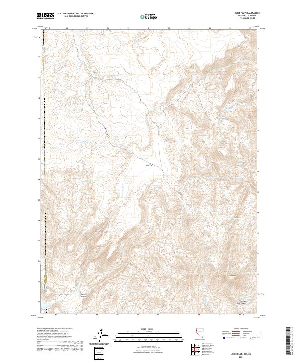
2018 Moses Rock
Washoe County, NV
2018 Mosquito Valley
Washoe County, NV
2018 Mount Rose NE
Washoe County, NV
2018 Mount Rose NW
Washoe County, NV

2018 Mount Rose
Washoe County, NV
2018 Nellie Spring Mountain
Washoe County, NV
2018 New Empire
Washoe County, NV
2018 Nixon NW
Washoe County, NV
2018 Nut Mountain
Washoe County, NV
2018 Olinghouse
Washoe County, NV
2018 Pah Rah Mountain
Washoe County, NV
2018 Pah-Rum Peak
Washoe County, NV
2018 Painted Point
Washoe County, NV
2018 Parker Canyon
Washoe County, NV
2018 Patrick
Washoe County, NV
2018 Pegleg Canyon
Washoe County, NV
2018 Pinto Springs
Washoe County, NV
2018 Poodle Mountain
Washoe County, NV

2018 Powers Well
Washoe County, NV
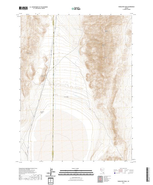
2018 Purgatory Peak
Washoe County, NV
2018 Pyramid NE
Washoe County, NV
2018 Pyramid SE
Washoe County, NV
2018 Pyramid SW
Washoe County, NV
2018 Red Rock Canyon
Washoe County, NV
2018 Reno NE
Washoe County, NV
2018 Reno NW
Washoe County, NV
2018 Reynard
Washoe County, NV
2018 Russell Peak
Washoe County, NV
2018 Rye Creek
Washoe County, NV
2018 Rye Patch Canyon
Washoe County, NV
2018 Salt Marsh
Washoe County, NV
2018 Sand Pass
Washoe County, NV
2018 San Emidio Desert North
Washoe County, NV
2018 San Emidio Desert South
Washoe County, NV
2018 Seven Lakes Mountain
Washoe County, NV
2018 Sheepshead Spring
Washoe County, NV
2018 Smith Canyon
Washoe County, NV
2018 Smoke Creek Ranch
Washoe County, NV
2018 Spanish Flat
Washoe County, NV
2018 Spanish Springs Peak
Washoe County, NV
2018 State Line Peak
Washoe County, NV
2018 Steamboat
Washoe County, NV
2018 Swan Lake
Washoe County, NV
2018 The Banjo
Washoe County, NV
2018 The Needle Rocks
Washoe County, NV
2018 Tohakum Peak NW
Washoe County, NV
2018 Tule Peak
Washoe County, NV
2018 Two Tips
Washoe County, NV
2018 Vista
Washoe County, NV
2018 Vya
Washoe County, NV
2018 Wall Canyon Reservoir
Washoe County, NV
2018 Wall Spring
Washoe County, NV
2018 Washoe City
Washoe County, NV
2018 West of Empire
Washoe County, NV
2018 Yellow Hills East
Washoe County, NV
2018 Yellow Hills West
Washoe County, NV
2021 Alkali Lake
Washoe County, NV
2021 Astor Pass
Washoe County, NV
2021 Badger Mountain NW
Washoe County, NV
2021 Bald Mountain
Washoe County, NV
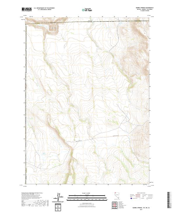
2021 Barrel Springs
Washoe County, NV
2021 Bedell Flat
Washoe County, NV
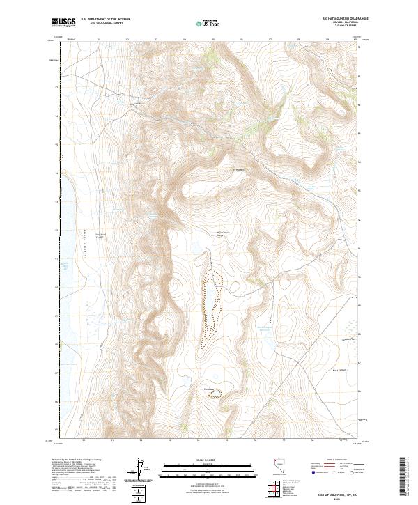
2021 Big Hat Mountain
Washoe County, NV
2021 Big Sawmill Canyon
Washoe County, NV
2021 Bordwell Spring
Washoe County, NV
2021 Boulder Lake
Washoe County, NV
2021 Boulder Mountain
Washoe County, NV
2021 Buffalo Creek
Washoe County, NV
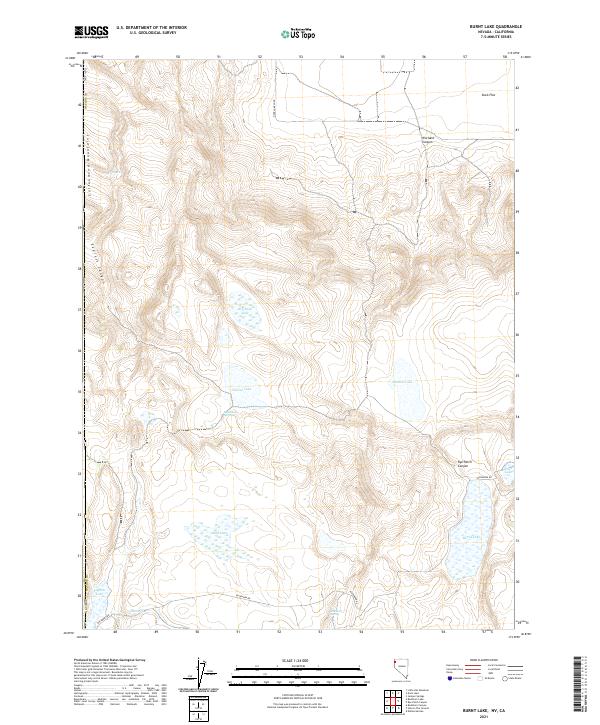
2021 Burnt Lake
Washoe County, NV
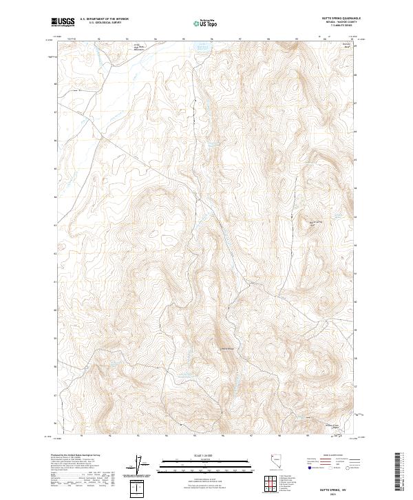
2021 Butte Spring
Washoe County, NV
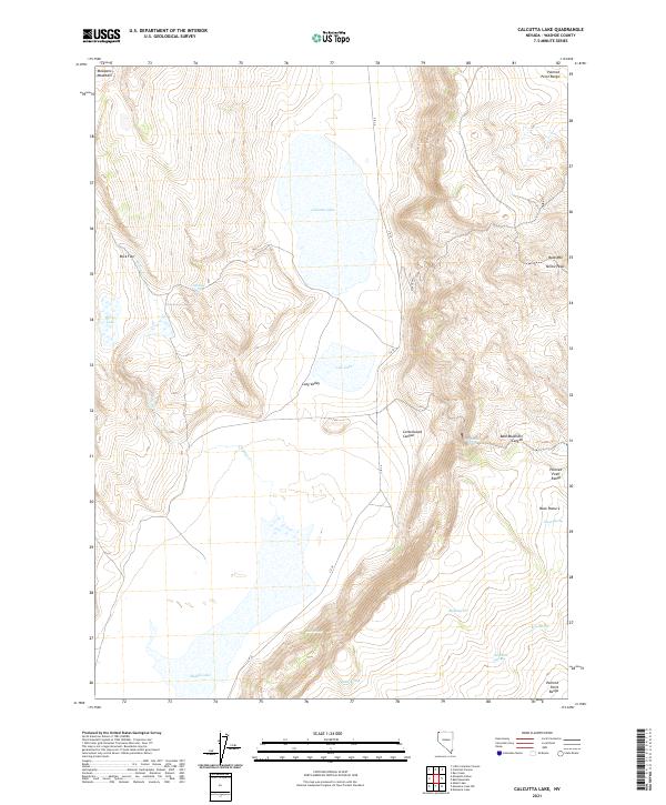
2021 Calcutta Lake
Washoe County, NV
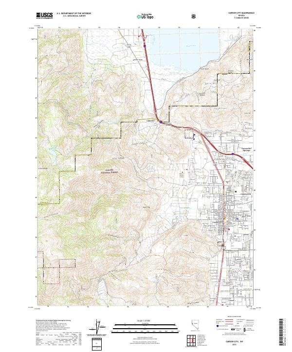
2021 Carson City
Washoe County, NV
2021 Carter Reservoir
Washoe County, NV
2021 Catnip Canyon
Washoe County, NV
2021 Chester Lyons Spring
Washoe County, NV
2021 Coleman Canyon
Washoe County, NV
2021 Crooks Meadow
Washoe County, NV
2021 Crutcher Canyon
Washoe County, NV
2021 Dogskin Mountain
Washoe County, NV
2021 Dove Creek
Washoe County, NV
2021 Duck Lake
Washoe County, NV
2021 Eddies Garden
Washoe County, NV
2021 Emerson Pass
Washoe County, NV
2021 Flanigan
Washoe County, NV
2021 Fortynine Mountain
Washoe County, NV
2021 Fox Canyon
Washoe County, NV
2021 Fox Mountain
Washoe County, NV
2021 Fraser Flat
Washoe County, NV
2021 Godeys Rock
Washoe County, NV
2021 Granite Peak
Washoe County, NV
2021 Griffith Canyon
Washoe County, NV
2021 Hart Mountain
Washoe County, NV
2021 Hays Canyon
Washoe County, NV
2021 High Rock Lake
Washoe County, NV
2021 Hillside Spring
Washoe County, NV
2021 Hog Spring
Washoe County, NV
2021 Hole In The Ground
Washoe County, NV
2021 Horse Canyon
Washoe County, NV
2021 Hualapai Flat North
Washoe County, NV
2021 Hualapai Flat South
Washoe County, NV
2021 Juniper Peak
Washoe County, NV
2021 Juniper Springs
Washoe County, NV
2021 Kumiva Peak
Washoe County, NV
2021 Leadville
Washoe County, NV
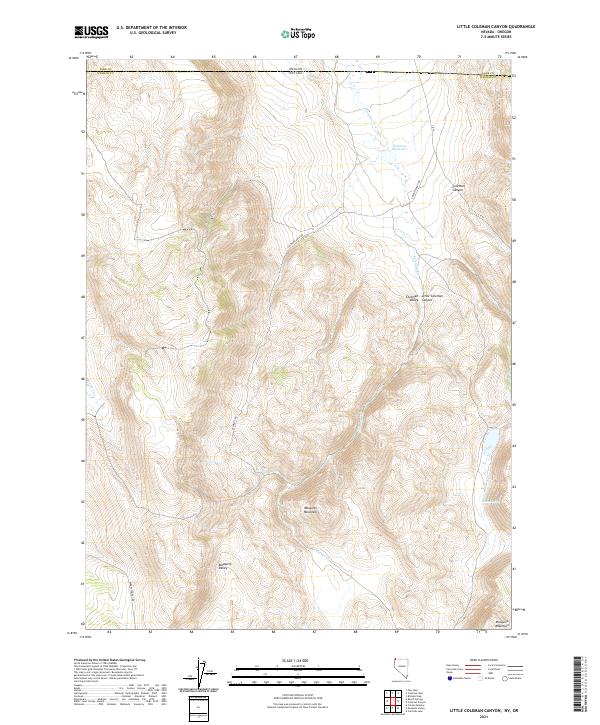
2021 Little Coleman Canyon
Washoe County, NV
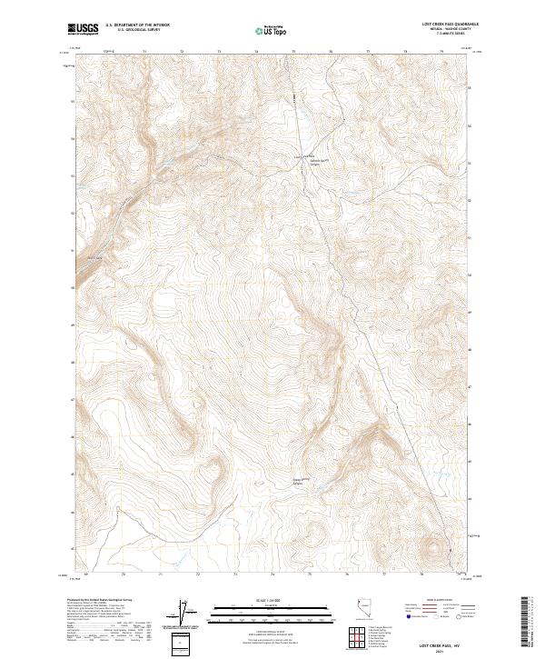
2021 Lost Creek Pass
Washoe County, NV
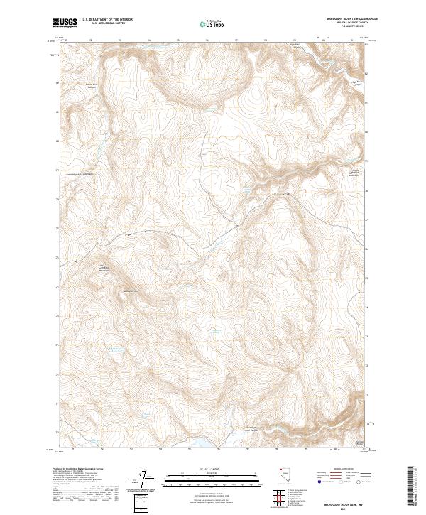
2021 Mahogany Mountain
Washoe County, NV
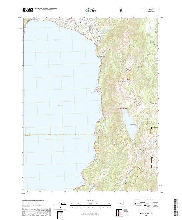
2021 Marlette Lake
Washoe County, NV
2021 Massacre Creek
Washoe County, NV
2021 Massacre Lake NW
Washoe County, NV
2021 Massacre Lake
Washoe County, NV
2021 Melody Mountain
Washoe County, NV
2021 Mixie Flat
Washoe County, NV
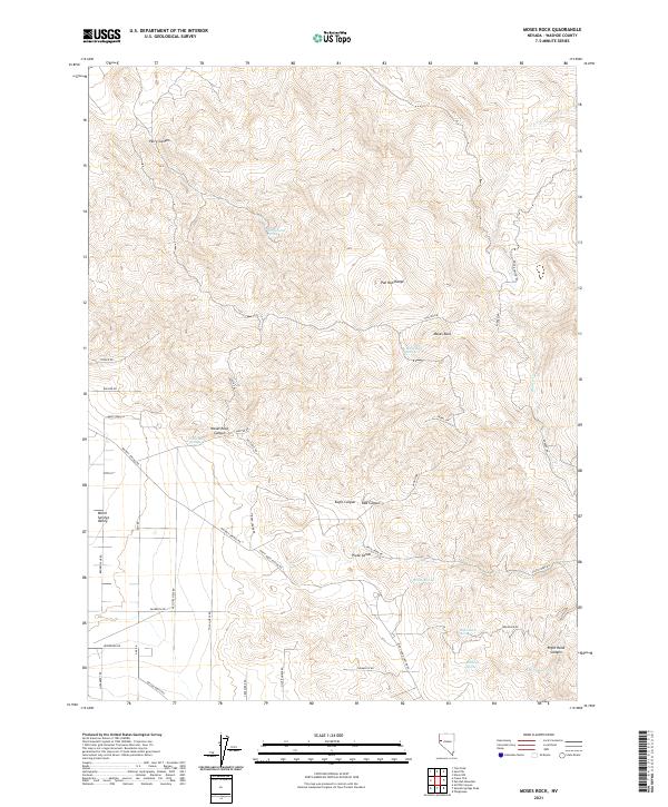
2021 Moses Rock
Washoe County, NV
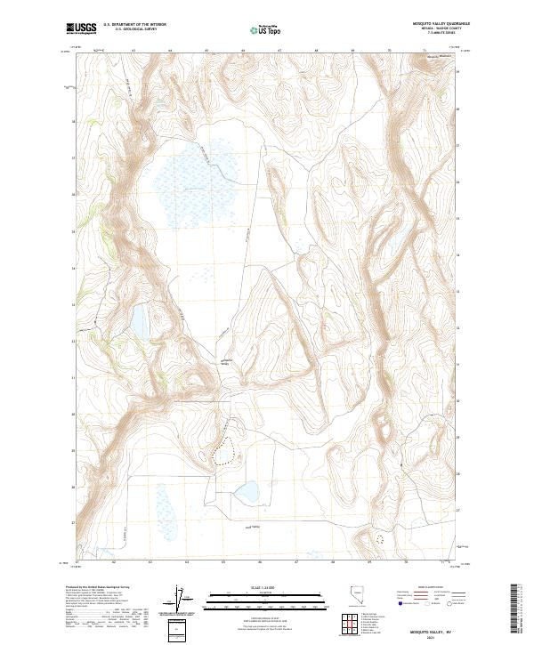
2021 Mosquito Valley
Washoe County, NV
2021 Mount Rose NE
Washoe County, NV
2021 Mount Rose NW
Washoe County, NV
2021 Mount Rose
Washoe County, NV
2021 Nellie Spring Mountain
Washoe County, NV
2021 New Empire
Washoe County, NV
2021 Nixon NW
Washoe County, NV
2021 Nut Mountain
Washoe County, NV
2021 Olinghouse
Washoe County, NV
2021 Pah Rah Mountain
Washoe County, NV
2021 Pah-Rum Peak
Washoe County, NV
2021 Painted Point
Washoe County, NV
2021 Parker Canyon
Washoe County, NV
2021 Patrick
Washoe County, NV
2021 Pegleg Canyon
Washoe County, NV
2021 Pinto Springs
Washoe County, NV
2021 Poodle Mountain
Washoe County, NV
2021 Powers Well
Washoe County, NV
2021 Purgatory Peak
Washoe County, NV
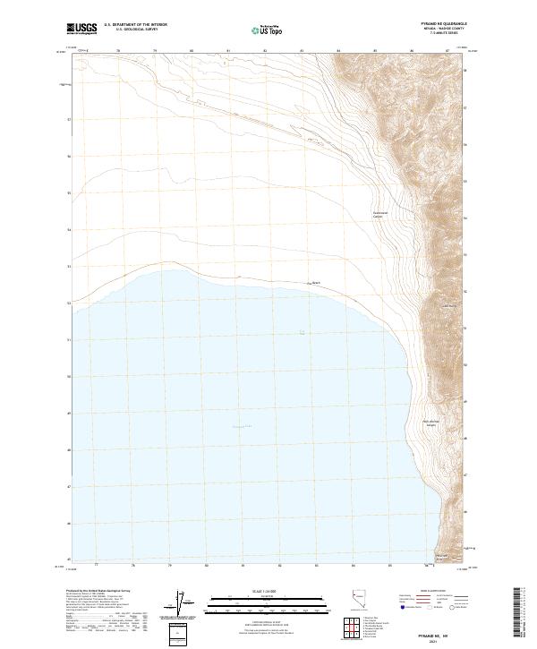
2021 Pyramid NE
Washoe County, NV
2021 Pyramid SE
Washoe County, NV
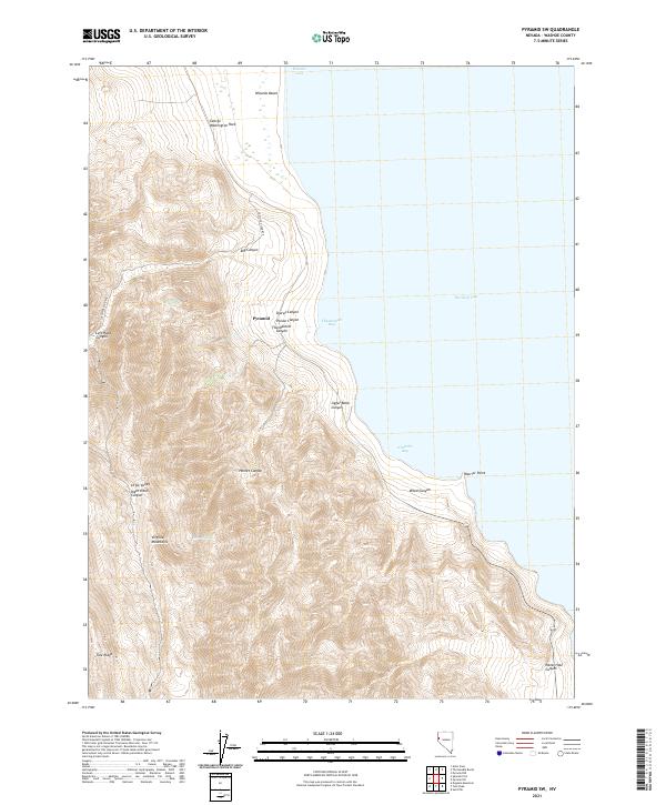
2021 Pyramid SW
Washoe County, NV
2021 Red Rock Canyon
Washoe County, NV
2021 Reno NE
Washoe County, NV
2021 Reno NW
Washoe County, NV
2021 Reynard
Washoe County, NV
2021 Russell Peak
Washoe County, NV
2021 Rye Creek
Washoe County, NV
2021 Rye Patch Canyon
Washoe County, NV
2021 Salt Marsh
Washoe County, NV
2021 Sand Pass
Washoe County, NV
2021 San Emidio Desert North
Washoe County, NV
2021 San Emidio Desert South
Washoe County, NV
2021 Seven Lakes Mountain
Washoe County, NV
2021 Sheepshead Spring
Washoe County, NV
2021 Smith Canyon
Washoe County, NV
2021 Smoke Creek Ranch
Washoe County, NV
2021 Spanish Flat
Washoe County, NV
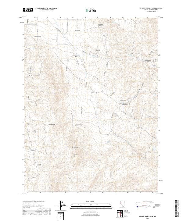
2021 Spanish Springs Peak
Washoe County, NV
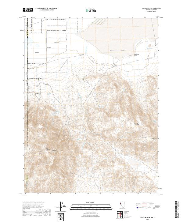
2021 State Line Peak
Washoe County, NV
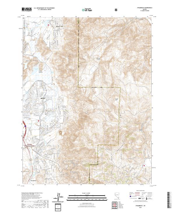
2021 Steamboat
Washoe County, NV
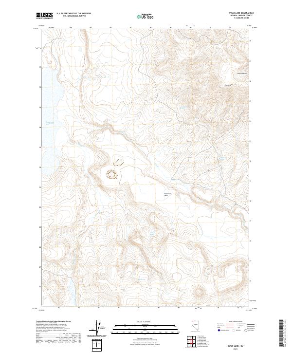
2021 Swan Lake
Washoe County, NV
2021 The Banjo
Washoe County, NV
2021 The Needle Rocks
Washoe County, NV
2021 Tohakum Peak NW
Washoe County, NV
2021 Tule Peak
Washoe County, NV
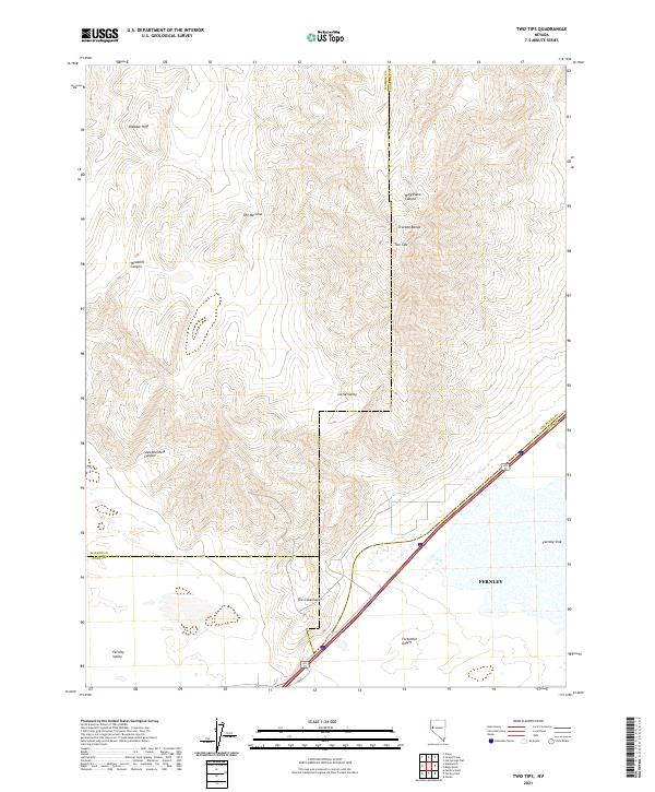
2021 Two Tips
Washoe County, NV
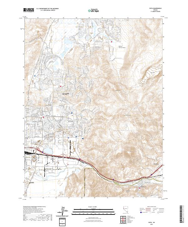
2021 Vista
Washoe County, NV
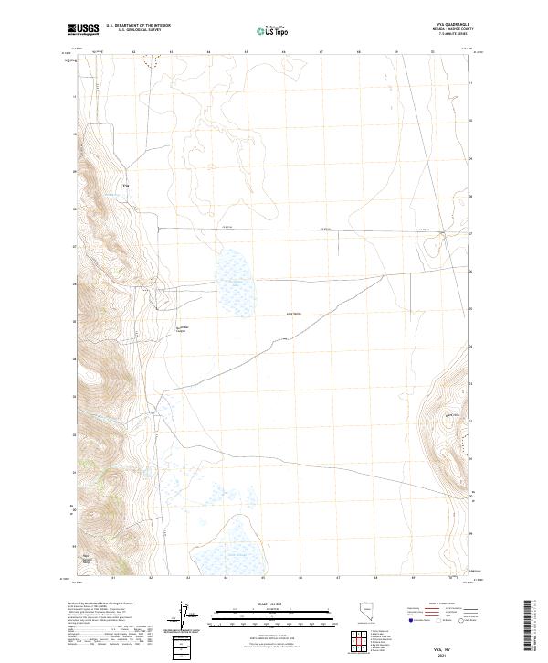
2021 Vya
Washoe County, NV
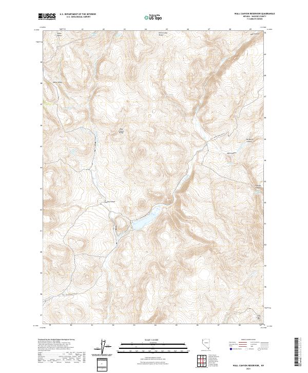
2021 Wall Canyon Reservoir
Washoe County, NV

2021 Wall Spring
Washoe County, NV
2021 Washoe City
Washoe County, NV
2021 West of Empire
Washoe County, NV
2021 Yellow Hills East
Washoe County, NV
2021 Yellow Hills West
Washoe County, NV
2023 Bedell Flat
Washoe County, NV
2023 Big Sawmill Canyon
Washoe County, NV
2023 Godeys Rock
Washoe County, NV
2023 The Banjo
Washoe County, NV
2023 Wall Spring
Washoe County, NV