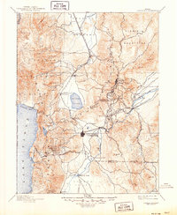
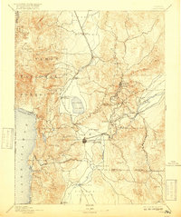
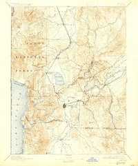
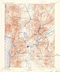
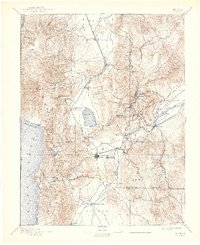
1893 Map of Carson City
USGS Topo · Published 1949About this map
Virginia City and the booming mining districts of the Comstock Lode dominate this late nineteenth-century landscape, connected by a dense network of rail and toll roads. The Virginia and Truckee Railroad snakes through the mountainous terrain, linking the silver centers of Gold Hill and Silver City to the state capital at Carson City. This survey illustrates the vital industrial corridor along the Carson River, where settlements like Empire and Dayton supported the region's mineral extraction. To the west, the high timberlands of the Toiyabe National Forest and the eastern shores of Lake Tahoe provide a sharp contrast to the arid Carson Plains. Significant local landmarks are carefully documented, from the State Prison east of the capital to the early agricultural hubs of Genoa and Franktown within the fertile Washoe Valley.
Find a feature on this map
74 named features on this map. Tap any name to fly to it.
Don’t see what you’re looking for? This feature index may not catch every label — zoom into the map to look around manually.
Map Details
Editions of this 1893 Carson City Map
9 editions found

Other maps of this area

1889 · Pyramid Peak
USGS Topo · 1:125,000

1889 · Markleeville
USGS Topo · 1:125,000

1890 · Wadsworth
USGS Topo · 1:125,000

1890 · Sierraville
USGS Topo · 1:125,000

1891 · Carson
USGS Topo · 1:125,000

1891 · Markleeville
USGS Topo · 1:125,000

1891 · Truckee
USGS Topo · 1:125,000

1891 · Wabuska
USGS Topo · 1:125,000

1891 · Reno
USGS Topo · 1:125,000

1891 · Pyramid Peak
USGS Topo · 1:125,000