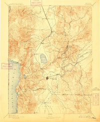
1893 Map of Carson
USGS Topo · Published 1909About this map
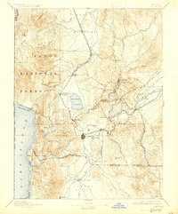
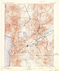
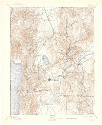
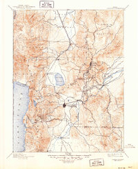
Virginia City and the surrounding mining district dominate the eastern slopes of the Flowery Range in this late nineteenth-century survey. The map details the intricate path of the Virginia and Truckee Railroad as it winds through the mountains to connect the silver mines of the Comstock Lode with the reduction mills along the Carson River at Empire and Dayton. The territorial importance of the region is evident in the layout of the capital at Carson, which includes the State Prison and sits at the crossroads of the Eagle Valley.
Find a feature on this map
65 named features on this map. Tap any name to fly to it.
Don’t see what you’re looking for? This feature index may not catch every label — zoom into the map to look around manually.
Map Details
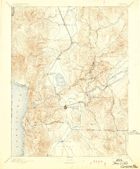
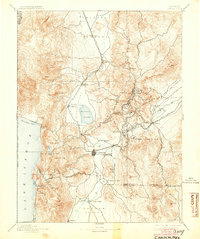
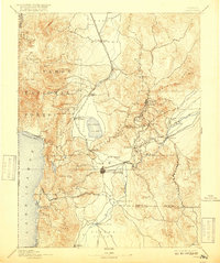
Editions of this 1893 Carson Map
9 editions found

Other maps of this area

1889 · Pyramid Peak
USGS Topo · 1:125,000

1889 · Markleeville
USGS Topo · 1:125,000

1890 · Wadsworth
USGS Topo · 1:125,000

1890 · Sierraville
USGS Topo · 1:125,000

1891 · Carson
USGS Topo · 1:125,000

1891 · Markleeville
USGS Topo · 1:125,000

1891 · Truckee
USGS Topo · 1:125,000

1891 · Wabuska
USGS Topo · 1:125,000

1891 · Reno
USGS Topo · 1:125,000

1891 · Pyramid Peak
USGS Topo · 1:125,000