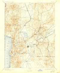
1893 Map of Carson
USGS Topo · Published 1926About this map
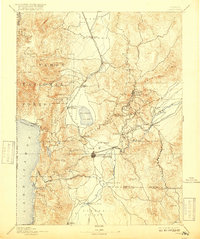
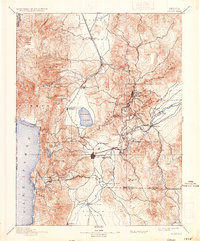
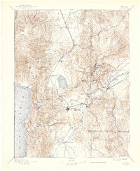
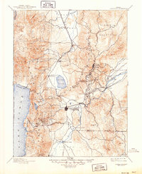
Virginia City and the historic Comstock Lode district dominate the eastern ridges of this late 19th-century landscape, showcasing the concentrated mining urbanism of Gold Hill and Silver City. The map traces the critical industrial corridor of the Virginia and Truckee Railroad as it winds through the mountains to connect the silver mines with the Carson River milling sites and the state capital at Carson. Along the western edge, the pristine waters of Lake Tahoe meet the timber-rich slopes of the Tahoe National Forest, with Glenbrook serving as a key point on the shoreline.
Find a feature on this map
74 named features on this map. Tap any name to fly to it.
Don’t see what you’re looking for? This feature index may not catch every label — zoom into the map to look around manually.
Map Details
Editions of this 1893 Carson Map
9 editions found

Other maps of this area

1889 · Pyramid Peak
USGS Topo · 1:125,000

1889 · Markleeville
USGS Topo · 1:125,000

1890 · Wadsworth
USGS Topo · 1:125,000

1890 · Sierraville
USGS Topo · 1:125,000

1891 · Carson
USGS Topo · 1:125,000

1891 · Markleeville
USGS Topo · 1:125,000

1891 · Truckee
USGS Topo · 1:125,000

1891 · Wabuska
USGS Topo · 1:125,000

1891 · Reno
USGS Topo · 1:125,000

1891 · Pyramid Peak
USGS Topo · 1:125,000