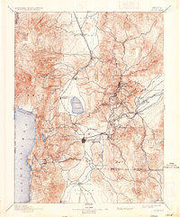
1893 Map of Carson
USGS Topo · Published 1936About this map
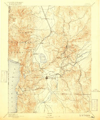
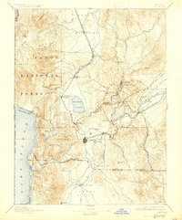
Virginia City and the surrounding Comstock Lode district dominate this late-19th-century survey, showcasing the intense industrial and transportation network required to support the region's mining operations. The Virginia & Truckee Railroad snakes through the high terrain, connecting the mining hubs of Gold Hill and Silver City to the state capital at Carson and the milling sites along the Carson River. To the west, the landscape transitions sharply into the Tahoe National Forest, where Lake Tahoe and Marlette Lake are situated.
Find a feature on this map
65 named features on this map. Tap any name to fly to it.
Don’t see what you’re looking for? This feature index may not catch every label — zoom into the map to look around manually.
Map Details
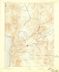
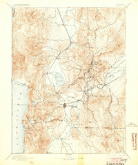
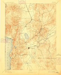
Editions of this 1893 Carson Map
9 editions found

Other maps of this area

1889 · Pyramid Peak
USGS Topo · 1:125,000

1889 · Markleeville
USGS Topo · 1:125,000

1890 · Wadsworth
USGS Topo · 1:125,000

1890 · Sierraville
USGS Topo · 1:125,000

1891 · Carson
USGS Topo · 1:125,000

1891 · Markleeville
USGS Topo · 1:125,000

1891 · Truckee
USGS Topo · 1:125,000

1891 · Wabuska
USGS Topo · 1:125,000

1891 · Reno
USGS Topo · 1:125,000

1891 · Pyramid Peak
USGS Topo · 1:125,000