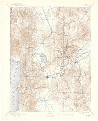
1893 Map of Carson
USGS Topo · Published 1942About this map
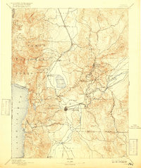
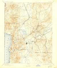
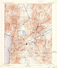
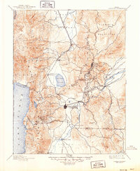
The Comstock Lode's industrial footprint is clearly etched across the eastern mountains in this late nineteenth-century survey. High-elevation mining hubs like Virginia City, Gold Hill, and Silver City are connected by a complex network of roads and the winding Virginia and Truckee R. R. through the hills. Down in the valleys, the state capital Carson serves as a central waypoint between the mountains and the agricultural Carson Valley.
Find a feature on this map
61 named features on this map. Tap any name to fly to it.
Don’t see what you’re looking for? This feature index may not catch every label — zoom into the map to look around manually.
Map Details
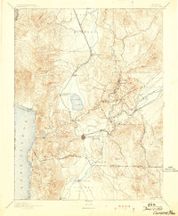
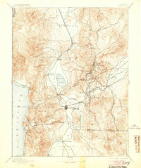
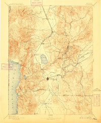
Editions of this 1893 Carson Map
9 editions found

Other maps of this area

1889 · Pyramid Peak
USGS Topo · 1:125,000

1889 · Markleeville
USGS Topo · 1:125,000

1890 · Wadsworth
USGS Topo · 1:125,000

1890 · Sierraville
USGS Topo · 1:125,000

1891 · Carson
USGS Topo · 1:125,000

1891 · Markleeville
USGS Topo · 1:125,000

1891 · Truckee
USGS Topo · 1:125,000

1891 · Wabuska
USGS Topo · 1:125,000

1891 · Reno
USGS Topo · 1:125,000

1891 · Pyramid Peak
USGS Topo · 1:125,000