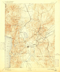
1893 Map of Carson
USGS Topo · Published 1917About this map
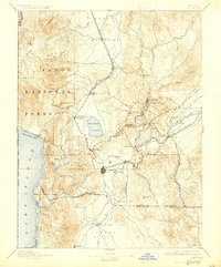
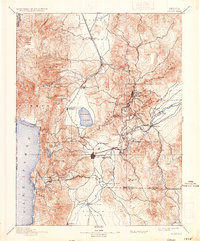
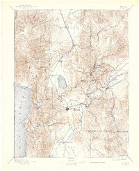
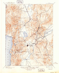
Virginia City and the mining districts of the Comstock Lode define this late 19th-century landscape, connected by the winding route of the Virginia and Truckee R.R. This survey documents the critical infrastructure that supported Nevada's silver boom, from the deep-level mining centers of Gold Hill and Silver City to the processing sites at Empire and Dayton along the Carson River. The western portion of the map showcases the high-elevation basin of Lake Tahoe and the timber resources of the Tahoe National Forest, which were vital for shoring up mine shafts. To the south, the State Prison sits near Carson, while the valley floors of Washoe Valley and Carson Valley provide a stark contrast to the steep slopes of the Flowery Range and Mt. Rose. Early transportation links are evident in features like the Cradlebaugh Bridge and the strategic rail junction at Mound House.
Find a feature on this map
65 named features on this map. Tap any name to fly to it.
Don’t see what you’re looking for? This feature index may not catch every label — zoom into the map to look around manually.
Map Details
Editions of this 1893 Carson Map
9 editions found

Other maps of this area

1889 · Pyramid Peak
USGS Topo · 1:125,000

1889 · Markleeville
USGS Topo · 1:125,000

1890 · Wadsworth
USGS Topo · 1:125,000

1890 · Sierraville
USGS Topo · 1:125,000

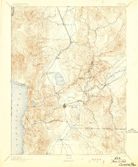
1891 · Carson
USGS Topo · 1:125,000

1891 · Markleeville
USGS Topo · 1:125,000

1891 · Truckee
USGS Topo · 1:125,000

1891 · Wabuska
USGS Topo · 1:125,000

1891 · Reno
USGS Topo · 1:125,000

1891 · Pyramid Peak
USGS Topo · 1:125,000