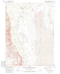
1981 Map of Sheepshead Spring
USGS Topo · Published 1988About this map
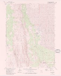
The Smoke Creek Desert dominates this arid Nevada landscape, where water management is the primary indicator of human activity in the early 1980s. The presence of numerous Flowing Wells and family-named locations such as the Sheepshead Ranch (Site) and Cornell Place reflect the high-desert ranching history of the region. This area is characterized by vast Alkali Flats and the intermittent flow of Smoke Creek, with terrain rising into the western mountains cut by Marie Canyon and Black Diamond Canyon. The southern edge of the survey touches the Pyramid Lake Indian Reservation, providing a boundary between public lands and tribal territory. Researchers will find a landscape of Jeep Trails connecting remote water sources like Buckbrush Spring and Lower Smoke Creek Well, illustrating the logistical challenges of land use in Washoe County's northern reaches.
Find a feature on this map
23 named features on this map. Tap any name to fly to it.
Don’t see what you’re looking for? This feature index may not catch every label — zoom into the map to look around manually.
Map Details
Editions of this 1981 Sheepshead Spring Map
2 editions found
Other maps of this area

1886 · Granite Range
USGS Topo · 1:250,000

1894 · Granite Range
USGS Topo · 1:250,000

1955 · Lovelock
USGS Topo · 1:250,000

1959 · Lovelock
USGS Topo · 1:250,000

1965 · Fox Range
USGS Topo · 1:62,500

1980 · Salt Marsh
USGS Topo · 1:24,000
1980 · Red Rock Canyon
USGS Topo · 1:24,000
1980 · Parker Canyon
USGS Topo · 1:24,000
1980 · Sand Pass
USGS Topo · 1:24,000

1980 · Hog Spring
USGS Topo · 1:24,000