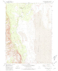
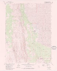
1981 Map of Sheepshead Spring
USGS Topo · Published 1981About this map
Smoke Creek flows through this arid landscape, which in the early 1980s was defined by sparse ranching outposts and a network of desert springs. The site of the Sheepshead Ranch and the nearby Cornell Place mark the historical footprint of human habitation in this corner of Washoe County. The map provides a detailed view of the water resources essential for survival in the Smoke Creek Desert, identifying numerous Flowing Wells, the Lower Smoke Creek Corral, and several named wells like Bonham Well. The western portion of the map is dominated by the steep terrain of the Buffalo Hills, carved by Black Diamond Canyon and Buckbrush Canyon. To the southeast, the terrain levels out into the Pyramid Lake Indian Reservation, where the alkali landscape meets the broad, flat expanses characteristic of this northern Nevada basin.
Find a feature on this map
22 named features on this map. Tap any name to fly to it.
Don’t see what you’re looking for? This feature index may not catch every label — zoom into the map to look around manually.
Map Details
Editions of this 1981 Sheepshead Spring Map
2 editions found
Other maps of this area

1886 · Granite Range
USGS Topo · 1:250,000

1894 · Granite Range
USGS Topo · 1:250,000

1955 · Lovelock
USGS Topo · 1:250,000

1959 · Lovelock
USGS Topo · 1:250,000

1965 · Fox Range
USGS Topo · 1:62,500

1980 · Salt Marsh
USGS Topo · 1:24,000
1980 · Red Rock Canyon
USGS Topo · 1:24,000
1980 · Parker Canyon
USGS Topo · 1:24,000
1980 · Sand Pass
USGS Topo · 1:24,000

1980 · Hog Spring
USGS Topo · 1:24,000