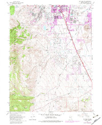
1969 Map of Mt. Rose NE
USGS Topo · Published 1983About this map
Reno's southern expansion into the Truckee Meadows is visible in this period of transition from agricultural ranchland to suburban infrastructure. The map documents the city's growth along Virginia St and Kietzke Lane, where recreational sites like the Moana Muni Pool and Reno Municipal Golf Course appear alongside established landmarks like the Cannon International Airport. In the west, the foothills of the Toiyabe National Forest provide a stark contrast to the valley floor, holding the Wheeler Ranch and various spring-fed drainages.
Find a feature on this map
44 named features on this map. Tap any name to fly to it.
Don’t see what you’re looking for? This feature index may not catch every label — zoom into the map to look around manually.
Map Details
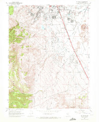
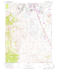
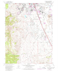
Editions of this 1969 Mt. Rose NE Map
4 editions found
Other maps of this area

1891 · Carson
USGS Topo · 1:125,000

1891 · Reno
USGS Topo · 1:125,000

1893 · Carson
USGS Topo · 1:125,000

1893 · Reno
USGS Topo · 1:125,000

1950 · Virginia City
USGS Topo · 1:62,500

1950 · Mt. Rose
USGS Topo · 1:62,500

1950 · Reno
USGS Topo · 1:62,500

1951 · Reno
USGS Topo · 1:62,500

1952 · Mt. Rose
USGS Topo · 1:62,500

1952 · Virginia City
USGS Topo · 1:62,500