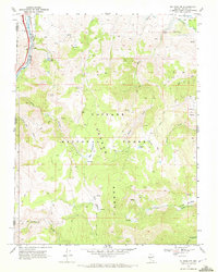
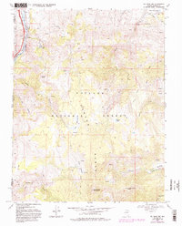
1968 Map of Mt. Rose NW
USGS Topo · Published 1972About this map
The Carson Range dominates this late-1960s survey, showing a landscape defined by high-altitude meadows and a complex network of water management features on the edge of the Toiyabe National Forest. The northwestern corner of the map captures the Truckee River as it winds alongside the Southern Pacific railroad line, a vital transportation corridor through the mountains. Higher elevations reveal the headwaters of several drainages, including Hunter Creek and Thomas Creek, which feed into infrastructure like Hunter Creek Res and the Steamboat Ditch. Evidence of local industry and utility is visible through a Quarry near the river and a Radio Facility perched on a ridge. Significant alpine features such as Big Meadows Springs, Davis Meadow, and Hunter Lake offer clear detail for those tracing the historic land use and hydrology of the eastern Sierra front.
Find a feature on this map
30 named features on this map. Tap any name to fly to it.
Don’t see what you’re looking for? This feature index may not catch every label — zoom into the map to look around manually.
Map Details
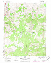
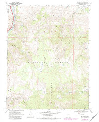
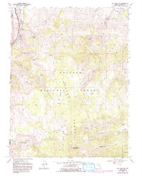
Editions of this 1968 Mt. Rose NW Map
5 editions found
Other maps of this area

1890 · Sierraville
USGS Topo · 1:125,000

1891 · Carson
USGS Topo · 1:125,000

1891 · Truckee
USGS Topo · 1:125,000

1891 · Reno
USGS Topo · 1:125,000

1892 · Sierraville
USGS Topo · 1:125,000

1893 · Carson
USGS Topo · 1:125,000

1893 · Truckee
USGS Topo · 1:125,000

1893 · Reno
USGS Topo · 1:125,000

1894 · Sierraville
USGS Topo · 1:125,000

1895 · Truckee
USGS Topo · 1:125,000