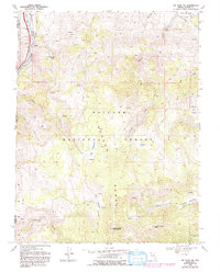
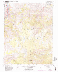
1968 Map of Mt. Rose NW
USGS Topo · Published 1993About this map
The Truckee River and the Southern Pacific railroad corridor anchor the northwestern corner of this high-elevation terrain in the late 1960s. The settlement of Fleish sits near the river, accompanied by a Quarry and infrastructure like a Gaging Station and a Dam. Most of the area is occupied by the Toiyabe National Forest, where the landscape of the Carson Range is defined by peaks such as Sunflower Mountain and Alpine Walk Peak.
Find a feature on this map
34 named features on this map. Tap any name to fly to it.
Don’t see what you’re looking for? This feature index may not catch every label — zoom into the map to look around manually.
Map Details
Editions of this 1968 Mt. Rose NW Map
5 editions found
Other maps of this area

1890 · Sierraville
USGS Topo · 1:125,000

1891 · Carson
USGS Topo · 1:125,000

1891 · Truckee
USGS Topo · 1:125,000

1891 · Reno
USGS Topo · 1:125,000

1892 · Sierraville
USGS Topo · 1:125,000

1893 · Carson
USGS Topo · 1:125,000

1893 · Truckee
USGS Topo · 1:125,000

1893 · Reno
USGS Topo · 1:125,000

1894 · Sierraville
USGS Topo · 1:125,000

1895 · Truckee
USGS Topo · 1:125,000