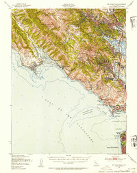
1950 Map of Mt. Tamalpais
USGS Topo · Published 1954About this map
Muir Woods National Monument and the heights of Mt Tamalpais State Park dominate this mid-century portrait of southern Marin County. The landscape is defined by the sharp transition from the coastal cliffs of the Gulf of the Farallones to the inland valleys where settlements like Mill Valley and Corte Madera were expanding. Significant coastal defenses are evident through large military reservations, including Fort Cronkhite Mil Res and Fort Barry Mil Res, guarding the northern approach to the Golden Gate.
Find a feature on this map
79 named features on this map. Tap any name to fly to it.
Don’t see what you’re looking for? This feature index may not catch every label — zoom into the map to look around manually.
Map Details
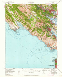
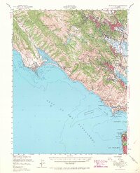
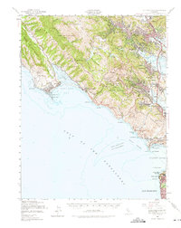
Editions of this 1950 Mt. Tamalpais Map
4 editions found
Other maps of this area

1892 · San Mateo
USGS Topo · 1:62,500

1895 · San Francisco
USGS Topo · 1:62,500

1896 · San Mateo
USGS Topo · 1:62,500

1897 · Tamalpais
USGS Topo · 1:62,500

1899 · San Francisco
USGS Topo · 1:62,500

1899 · San Mateo
USGS Topo · 1:62,500

1902 · Napa
USGS Topo · 1:125,000

1914 · Petaluma
USGS Topo · 1:62,500

1915 · San Mateo
USGS Topo · 1:62,500

1915 · San Francisco
USGS Topo · 1:62,500