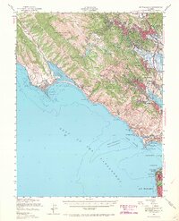
1950 Map of Mt. Tamalpais
USGS Topo · Published 1968About this map
Muir Woods National Monument and the heights of Mt Tamalpais State Park dominate this mid-century look at the Marin coastline and the northern entrance to the Golden Gate. Inland, the map traces the suburban growth of San Rafael, Fairfax, and Mill Valley along the U. S. 101 corridor. Along the Pacific, isolated settlements like Bolinas and Stinson Beach remain connected by the winding path of State Highway 1. The southern tip of the peninsula is defined by heavy military installations, including Fort Cronkhite and Fort Barry, guarding the coastal approaches. Marine features such as Duxbury Reef and the Potato Patch Shoal highlight the navigational hazards of the Gulf of the Farallones, while the Mile Rocks Lighthouse stands watch over the entrance to San Francisco.
Find a feature on this map
78 named features on this map. Tap any name to fly to it.
Don’t see what you’re looking for? This feature index may not catch every label — zoom into the map to look around manually.
Map Details
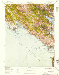
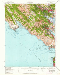
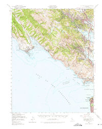
Editions of this 1950 Mt. Tamalpais Map
4 editions found
Other maps of this area

1892 · San Mateo
USGS Topo · 1:62,500

1895 · San Francisco
USGS Topo · 1:62,500

1896 · San Mateo
USGS Topo · 1:62,500

1897 · Tamalpais
USGS Topo · 1:62,500

1899 · San Francisco
USGS Topo · 1:62,500

1899 · San Mateo
USGS Topo · 1:62,500

1902 · Napa
USGS Topo · 1:125,000

1914 · Petaluma
USGS Topo · 1:62,500

1915 · San Mateo
USGS Topo · 1:62,500

1915 · San Francisco
USGS Topo · 1:62,500