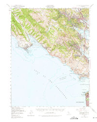
1950 Map of Mt. Tamalpais
USGS Topo · Published 1975About this map
The Marin Peninsula serves as the gateway to the Golden Gate in this mid-century survey, showcasing a landscape where coastal preservation meets military defense. At the heart of the terrain, Mt Tamalpais State Park and Muir Woods National Monument protect the high ridges, while the Northwestern Pacific railroad tracks the eastern shoreline through growing communities like Larkspur and Mill Valley.
Find a feature on this map
77 named features on this map. Tap any name to fly to it.
Don’t see what you’re looking for? This feature index may not catch every label — zoom into the map to look around manually.
Map Details
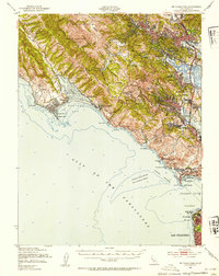
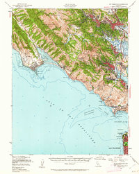
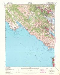
Editions of this 1950 Mt. Tamalpais Map
4 editions found
Other maps of this area

1892 · San Mateo
USGS Topo · 1:62,500

1895 · San Francisco
USGS Topo · 1:62,500

1896 · San Mateo
USGS Topo · 1:62,500

1897 · Tamalpais
USGS Topo · 1:62,500

1899 · San Francisco
USGS Topo · 1:62,500

1899 · San Mateo
USGS Topo · 1:62,500

1902 · Napa
USGS Topo · 1:125,000

1914 · Petaluma
USGS Topo · 1:62,500

1915 · San Mateo
USGS Topo · 1:62,500

1915 · San Francisco
USGS Topo · 1:62,500