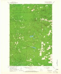
1964 Map of Mt. Valhalla
USGS Topo · Published 1965About this map
Chequamegon National Forest encompasses the vast majority of this mid-1960s landscape, where the terrain is defined by the high point of Mt Valhalla and the surveillance presence of the Washburn Lookout Tower. The region, spanning the boundaries of Bell, Bayview, and Washburn, is heavily marked by the legacy of the timber industry and early transport. Long stretches of Old Railroad Grade wind through the township sections, tracing paths used before modern roads were established. Water resources are central to the geography here, with Long Lake, Twin Lakes, and Crystal Lake punctuating the dense forest cover. To the south, the headwaters of the North Fork Whittlesey Cr begin their descent, while a designated Picnic Area and a solitary Gravel Pit indicate the light recreational and industrial footprint of the era.
Find a feature on this map
15 named features on this map. Tap any name to fly to it.
Don’t see what you’re looking for? This feature index may not catch every label — zoom into the map to look around manually.
Map Details
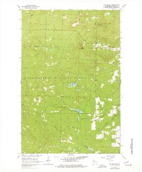
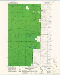
Editions of this 1964 Mt. Valhalla Map
3 editions found
Other maps of this area

1941 · Bayfield
USGS Topo · 1:48,000

1942 · Ashland
USGS Topo · 1:48,000

1944 · Moquah
USGS Topo · 1:48,000

1944 · Cornucopia
USGS Topo · 1:48,000

1946 · Cornucopia
USGS Topo · 1:48,000

1946 · Bayfield
USGS Topo · 1:48,000

1947 · Moquah
USGS Topo · 1:48,000

1947 · Ashland
USGS Topo · 1:48,000

1953 · Ashland
USGS Topo · 1:250,000

1958 · Ashland
USGS Topo · 1:250,000