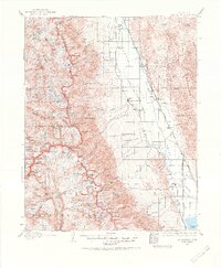
1937 Map of Mt. Whitney
USGS Topo · Published 1968About this map
Independence and the Owens Valley landscape dominate this 1937 revision, capturing the region's complex infrastructure during the early twentieth century. The map provides a critical look at the water and transportation networks of Inyo County, showing the Southern Pacific Railroad and its Narrow Gage Mojave-Owenyo Br running through the valley floor. Notable for historians is the inclusion of Old Camp Independence and the Bluebell Mine, alongside the developing aviation footprint at Lone Pine Landing Field. To the west, the boundary lines of Kings Canyon National Park and Sequoia National Park meet at the high peaks of the Sierra Nevada, where names like Mt Baxter and Mt Pinchot define the wilderness. Geologic features are distinctly noted, including a prominent Earthquake Fault running near Lone Pine, highlighting the environmental factors that shaped these Owens Valley settlements.
Find a feature on this map
187 named features on this map. Tap any name to fly to it.
Don’t see what you’re looking for? This feature index may not catch every label — zoom into the map to look around manually.
Map Details
Editions of this 1937 Mt. Whitney Map
3 editions found

Other maps of this area

1903 · Tehipite
USGS Topo · 1:125,000

1904 · Kaweah
USGS Topo · 1:125,000

1905 · Tehipite
USGS Topo · 1:125,000

1905 · Olancha
USGS Topo · 1:125,000

1907 · Olancha
USGS Topo · 1:125,000

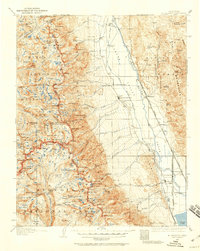
1907 · Mt. Whitney
USGS Topo · 1:125,000

1908 · Lida
USGS Topo · 1:250,000

1908 · Ballarat
USGS Topo · 1:250,000

1909 · Kaweah
USGS Topo · 1:125,000

1912 · Mt. Goddard
USGS Topo · 1:125,000