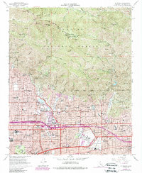
1966 Map of Mt. Wilson
USGS Topo · Published 1988About this map
Mount Wilson dominates the northern half of this landscape, its summit crowned with a Solar Camera Tower and a complex network of communication infrastructure. The steep southern slopes of the San Gabriel Mountains descend sharply toward the San Gabriel Valley, where the suburban expansion of the mid-1960s meets the Angeles National Forest boundary. Along this rugged transition, sites like the Mt Lowe Railway Historical Marker at Echo Mtn and various canyons such as Eaton Canyon reflect the long history of recreation and water management in the foothills.
Find a feature on this map
97 named features on this map. Tap any name to fly to it.
Don’t see what you’re looking for? This feature index may not catch every label — zoom into the map to look around manually.
Map Details
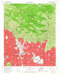
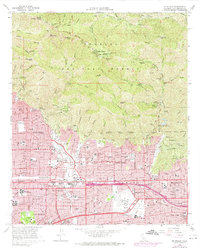
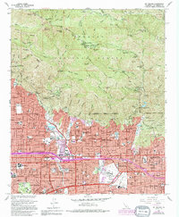
Editions of this 1966 Mt. Wilson Map
4 editions found
Other maps of this area

1894 · Los Angeles
USGS Topo · 1:62,500

1894 · Pomona
USGS Topo · 1:62,500

1896 · Pasadena
USGS Topo · 1:62,500

1897 · Pomona
USGS Topo · 1:62,500

1898 · Pomona
USGS Topo · 1:62,500

1900 · Pasadena
USGS Topo · 1:62,500

1900 · Tujunga
USGS Topo · 1:62,500

1900 · Los Angeles
USGS Topo · 1:62,500

1901 · Southern California Sheet No. 1
USGS Topo · 1:250,000

1903 · Rock Creek
USGS Topo · 1:62,500