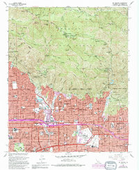
1966 Map of Mt. Wilson
USGS Topo · Published 1994About this map
Mt Wilson dominates the northern skyline of this survey, home to the world-renowned Mt Wilson Observatory and a network of radio and solar towers. The map captures the dramatic verticality of the Angeles National Forest, where steep canyons like Eaton Canyon and Santa Anita Canyon descend into the heavily developed San Gabriel Valley. The southern half reveals the sophisticated suburban landscape of the mid-1960s, featuring academic and cultural landmarks such as the Calif Institute of Technology and the Huntington Library.
Find a feature on this map
141 named features on this map. Tap any name to fly to it.
Don’t see what you’re looking for? This feature index may not catch every label — zoom into the map to look around manually.
Map Details
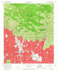
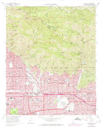
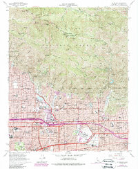
Editions of this 1966 Mt. Wilson Map
4 editions found
Other maps of this area

1894 · Los Angeles
USGS Topo · 1:62,500

1894 · Pomona
USGS Topo · 1:62,500

1896 · Pasadena
USGS Topo · 1:62,500

1897 · Pomona
USGS Topo · 1:62,500

1898 · Pomona
USGS Topo · 1:62,500

1900 · Pasadena
USGS Topo · 1:62,500

1900 · Tujunga
USGS Topo · 1:62,500

1900 · Los Angeles
USGS Topo · 1:62,500

1901 · Southern California Sheet No. 1
USGS Topo · 1:250,000

1903 · Rock Creek
USGS Topo · 1:62,500