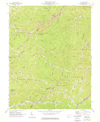
1962 Map of Mud
USGS Topo · Published 1977About this map
The Mud River and Guyandotte River define the winding drainage patterns of this Appalachian landscape, where narrow hollows and steep ridges separate isolated settlements and family holdings. By the early 1960s, the region was heavily characterized by extractive industry, with numerous Strip Mines and Mines dotting the hillsides, particularly near Cameo (Garner Sta) along the Chesapeake and Ohio railroad line. Local social infrastructure is deeply rooted in these valleys, evidenced by small educational and religious landmarks like Mud Sch, Connelly Sch, and the North Fork Ch.
Find a feature on this map
101 named features on this map. Tap any name to fly to it.
Don’t see what you’re looking for? This feature index may not catch every label — zoom into the map to look around manually.
Map Details
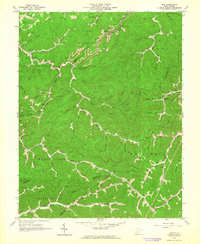
Editions of this 1962 Mud Map
2 editions found
Other maps of this area

1887 · Warfield
USGS Topo · 1:125,000

1891 · Oceana
USGS Topo · 1:125,000

1891 · Warfield
USGS Topo · 1:125,000

1892 · Huntington
USGS Topo · 1:125,000

1893 · Oceana
USGS Topo · 1:125,000

1898 · Huntington
USGS Topo · 1:125,000

1898 · Oceana
USGS Topo · 1:125,000

1899 · Charleston
USGS Topo · 1:125,000

1902 · Midkiff
USGS Topo · 1:62,500

1907 · Midkiff
USGS Topo · 1:62,500