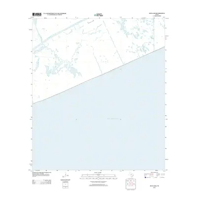
2013 Map of Mud Lake
USGS Topo · Published 2013About this map
The Gulf of Mexico dominates the southern half of this coastal quadrangle along the Texas shoreline. The landscape is defined by the tidal drainage patterns of the Mud Bayou and its northern fork, the N Prong Mud Bayou, which weave through a network of wetlands and minor inlets. The namesake Mud Lake serves as a central hydrological feature in this low-lying marshy reach. A single primary transportation route, Highway 87, follows the coastline, providing the only significant man-made corridor through this maritime environment. The mapping reveals the transition from open salt water to the intricate estuarine systems typical of this part of Jefferson County.
Find a feature on this map
5 named features on this map. Tap any name to fly to it.
Don’t see what you’re looking for? This feature index may not catch every label — zoom into the map to look around manually.
Map Details
Editions of this 2013 Mud Lake Map
This is the sole edition of this map. No revisions or reprints were ever made.
Other maps of this area

1931 · High Island
USGS Topo · 1:24,000

1943 · High Island
USGS Topo · 1:31,680

1943 · Sea Breeze
USGS Topo · 1:24,000

1945 · Sea Breeze
USGS Topo · 1:31,680

1950 · Houston
USGS Topo · 1:250,000

1956 · Houston
USGS Topo · 1:250,000

1961 · Star Lake
USGS Topo · 1:24,000

1961 · Mud Lake
USGS Topo · 1:24,000
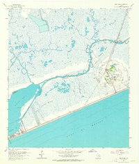
1962 · High Island
USGS Topo · 1:24,000
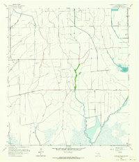
1962 · Stanolind Reservoir
USGS Topo · 1:24,000