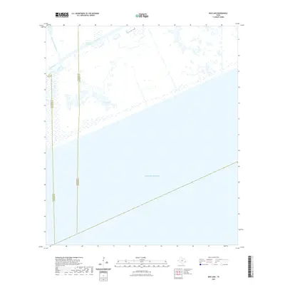
2022 Map of Mud Lake
USGS Topo · Published 2022About this map
Intracoastal Waterway traffic passes through the northern reaches of this coastal landscape, where the marshy transition between land and sea is defined by intricate drainage patterns. The convergence of three counties—Galveston, Chambers, and Jefferson—occurs across a largely uninhabited expanse of coastal wetlands and open water. The map shows the winding course of Mud Bayou and its namesake, Mud Lake, as they interact with the tides of the Gulf of Mexico. This survey offers a precise record of the shoreline and waterway engineering in an area critical for regional navigation and environmental shifts.
Find a feature on this map
6 named features on this map. Tap any name to fly to it.
Don’t see what you’re looking for? This feature index may not catch every label — zoom into the map to look around manually.
Map Details
Editions of this 2022 Mud Lake Map
This is the sole edition of this map. No revisions or reprints were ever made.
Other maps of this area

1931 · High Island
USGS Topo · 1:24,000

1943 · High Island
USGS Topo · 1:31,680

1943 · Sea Breeze
USGS Topo · 1:24,000

1945 · Sea Breeze
USGS Topo · 1:31,680

1950 · Houston
USGS Topo · 1:250,000

1956 · Houston
USGS Topo · 1:250,000

1961 · Star Lake
USGS Topo · 1:24,000

1961 · Mud Lake
USGS Topo · 1:24,000
1962 · High Island
USGS Topo · 1:24,000
1962 · Stanolind Reservoir
USGS Topo · 1:24,000