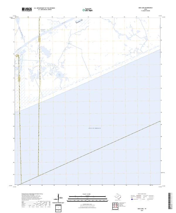
2025 Map of Mud Lake
USGS Topo · Published 2025About this map
Intracoastal Waterway cuts through the coastal marshlands of southeast Texas, serving as a vital industrial artery just inland from the shoreline. This low-lying landscape is defined by the shifting boundaries of water and wetlands, where Mud Bayou and the North Prong Mud Bayou drain toward the coast. The map illustrates a remote stretch of the upper Texas coast where the land meets the Gulf of America, emphasizing the importance of maritime navigation and water management in this maritime environment. Historically, this area represents the transition between the coastal prairie and the expansive salt marshes found at Horseshoe Marsh and Mud Lake, providing a detailed look at the hydrology of the border region between Chambers and Jefferson counties before any significant modern development.
Find a feature on this map
8 named features on this map. Tap any name to fly to it.
Don’t see what you’re looking for? This feature index may not catch every label — zoom into the map to look around manually.
Map Details
Editions of this 2025 Mud Lake Map
This is the sole edition of this map. No revisions or reprints were ever made.
Other maps of this area

1931 · High Island
USGS Topo · 1:24,000

1943 · High Island
USGS Topo · 1:31,680

1943 · Sea Breeze
USGS Topo · 1:24,000

1945 · Sea Breeze
USGS Topo · 1:31,680

1950 · Houston
USGS Topo · 1:250,000

1956 · Houston
USGS Topo · 1:250,000

1961 · Star Lake
USGS Topo · 1:24,000

1961 · Mud Lake
USGS Topo · 1:24,000
1962 · High Island
USGS Topo · 1:24,000
1962 · Stanolind Reservoir
USGS Topo · 1:24,000