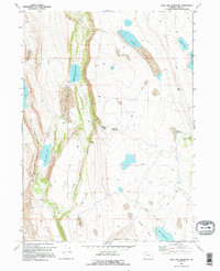
1968 Map of Mud Lake Reservoir
USGS Topo · Published 1995About this map
Mud Lake Reservoir and the expansive basin of Mud Lake anchor this high-desert survey of Lake County, Oregon. The landscape is defined by its complex hydrology, where seasonal basins and catchments like Long Lake, Horsehead Lake, and Famine Lake gather runoff in an otherwise arid environment. The sheer escarpment of Fisher Canyon provides a dramatic vertical break in the terrain, separating the lower-lying Fairy Flat from the higher volcanic plateaus to the east.
Find a feature on this map
21 named features on this map. Tap any name to fly to it.
Don’t see what you’re looking for? This feature index may not catch every label — zoom into the map to look around manually.
Map Details
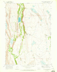
Editions of this 1968 Mud Lake Reservoir Map
2 editions found
Other maps of this area

1955 · Adel
USGS Topo · 1:250,000

1957 · Adel
USGS Topo · 1:250,000

1958 · Adel
USGS Topo · 1:250,000

1962 · Adel
USGS Topo · 1:250,000

1967 · Jacobs Reservoir
USGS Topo · 1:24,000

1967 · Alger Lake
USGS Topo · 1:24,000

1967 · Crump Lake
USGS Topo · 1:24,000
1968 · Piute Reservoir
USGS Topo · 1:24,000

1968 · Guano Lake
USGS Topo · 1:24,000
1968 · Calderwood Reservoir
USGS Topo · 1:24,000