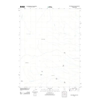
2012 Map of Mud Spring Gulch
USGS Topo · Published 2012About this map
The Shoshone Range dominates this landscape in Lander County, defining a rugged terrain where water sources are vital but sparse. High points like Bald Mountain and Granite Mountain anchor the topography, while seasonal drainages such as Fire Creek and Slaven Creek carve through the high desert. Historical land use is evidenced by the presence of Gay Mining Camp near Rosebud Gulch, reflecting the region's enduring connection to mineral exploration.
Find a feature on this map
14 named features on this map. Tap any name to fly to it.
Don’t see what you’re looking for? This feature index may not catch every label — zoom into the map to look around manually.
Map Details
Editions of this 2012 Mud Spring Gulch Map
This is the sole edition of this map. No revisions or reprints were ever made.
Other maps of this area

1949 · Crescent Valley
USGS Topo · 1:62,500

1949 · Mt. Lewis
USGS Topo · 1:62,500

1950 · Mt. Lewis
USGS Topo · 1:62,500

1950 · Crescent Valley
USGS Topo · 1:62,500

1955 · Winnemucca
USGS Topo · 1:250,000

1957 · Dunphy
USGS Topo · 1:62,500

1957 · Battle Mountain
USGS Topo · 1:62,500

1958 · Winnemucca
USGS Topo · 1:250,000

1962 · Winnemucca
USGS Topo · 1:250,000

1985 · Mud Spring Gulch
USGS Topo · 1:24,000