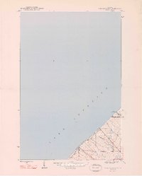
1948 Map of Muggun Creek
USGS Topo · Published 1948About this map
The rocky Keweenaw Peninsula shoreline meets the cold waters of Lake Superior in this mid-century survey of the rugged copper country. The map highlights the essential industrial infrastructure required for the region's mining and residential centers, specifically the Tamarack Waterworks and Calumet Waterworks positioned right along the coast. These facilities were vital lifelines for the nearby communities of Allouez, Calumet, and Hancock. Inland, the terrain is carved by small but significant drainages like Muggun Creek, Gardeners Creek, and Brewery Cr, which descend toward the lake. The map also delineates the jurisdictional boundary between Keweenaw County and Houghton County, providing a clear view of how these administrative lines bisected the landscape during a period of post-war industrial transition.
Find a feature on this map
10 named features on this map. Tap any name to fly to it.
Don’t see what you’re looking for? This feature index may not catch every label — zoom into the map to look around manually.
Map Details
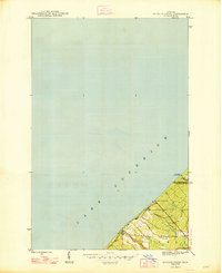
Editions of this 1948 Muggun Creek Map
2 editions found
Other maps of this area

1915 · Houghton
USGS Topo · 1:62,500

1941 · Ahmeek
USGS Topo · 1:31,680

1946 · Hancock
USGS Topo · 1:24,000

1946 · Muggun Creek
USGS Topo · 1:24,000

1946 · Ahmeek
USGS Topo · 1:24,000

1946 · Laurium
USGS Topo · 1:24,000

1947 · Ahmeek
USGS Topo · 1:24,000

1948 · Laurium
USGS Topo · 1:24,000

1948 · Hancock
USGS Topo · 1:24,000

1954 · Oskar
USGS Topo · 1:24,000