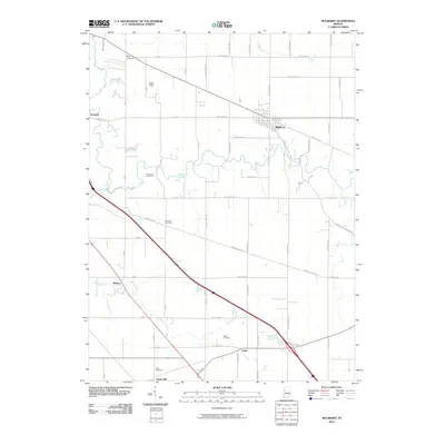
2010 Map of Mulberry
USGS Topo · Published 2010About this map
Mulberry serves as the primary hub of this Clinton County landscape, where the town’s established grid contrasts with the rural section lines of the surrounding countryside. The terrain is defined by the winding course of Lauramie Creek, which flows westward past Monroe and near the steep elevation of Kirkridge Bluff. This 2010 survey highlights a deeply ingrained agrarian settlement pattern, documented through a series of family and community burial grounds including Baker Cemetery, Newcomer Cemetery, and Holladay Cemetery.
Find a feature on this map
57 named features on this map. Tap any name to fly to it.
Don’t see what you’re looking for? This feature index may not catch every label — zoom into the map to look around manually.
Map Details
Editions of this 2010 Mulberry Map
This is the sole edition of this map. No revisions or reprints were ever made.
Other maps of this area

1953 · Danville
USGS Topo · 1:250,000

1955 · Danville
USGS Topo · 1:250,000

1956 · Danville
USGS Topo · 1:250,000

1958 · Kirkpatrick
USGS Topo · 1:24,000

1961 · Mulberry
USGS Topo · 1:24,000

1961 · Pyrmont
USGS Topo · 1:24,000

1961 · Stockwell
USGS Topo · 1:24,000

1961 · Lafayette East
USGS Topo · 1:24,000

1961 · Rossville
USGS Topo · 1:24,000

1961 · Frankfort
USGS Topo · 1:24,000