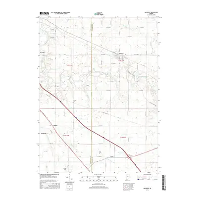
2016 Map of Mulberry
USGS Topo · Published 2016About this map
Mulberry serves as a primary hub within this rural Indiana landscape, where the Tippecanoe and Clinton county lines intersect. The terrain is defined by the winding course of South Fork Wildcat Creek and its various tributaries, including Lauramie Cr and Hog Run. A series of small settlements such as Stockwell, Monroe, and Clarks Hill are linked by a grid of country roads and the diagonal corridor of Sagamore Pkwy S.
Find a feature on this map
83 named features on this map. Tap any name to fly to it.
Don’t see what you’re looking for? This feature index may not catch every label — zoom into the map to look around manually.
Map Details
Editions of this 2016 Mulberry Map
This is the sole edition of this map. No revisions or reprints were ever made.
Other maps of this area

1953 · Danville
USGS Topo · 1:250,000

1955 · Danville
USGS Topo · 1:250,000

1956 · Danville
USGS Topo · 1:250,000

1958 · Kirkpatrick
USGS Topo · 1:24,000

1961 · Mulberry
USGS Topo · 1:24,000

1961 · Pyrmont
USGS Topo · 1:24,000

1961 · Stockwell
USGS Topo · 1:24,000

1961 · Lafayette East
USGS Topo · 1:24,000

1961 · Rossville
USGS Topo · 1:24,000

1961 · Frankfort
USGS Topo · 1:24,000