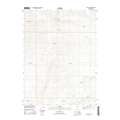
2014 Map of Mule Canyon
USGS Topo · Published 2014About this map
Shoshone Range dominates this central Nevada terrain, where sharp elevation changes define the local geography north of the Horse Heaven plateau. The landscape is marked by deep drainage systems including Water Canyon, Mule Canyon, and Deer Canyon, which carve through the high ridges. These natural features transition into the open expanse of Whirlwind Valley to the southeast, near the volcanic formations of the Malpais. Compiled from 2013 imagery and National Hydrography Dataset sources, this topographic record captures the distinct landform divisions between the high range and the lower valley floors in Lander County.
Find a feature on this map
13 named features on this map. Tap any name to fly to it.
Don’t see what you’re looking for? This feature index may not catch every label — zoom into the map to look around manually.
Map Details
Editions of this 2014 Mule Canyon Map
This is the sole edition of this map. No revisions or reprints were ever made.
Other maps of this area

1949 · Crescent Valley
USGS Topo · 1:62,500

1949 · Mt. Lewis
USGS Topo · 1:62,500

1950 · Mt. Lewis
USGS Topo · 1:62,500

1950 · Crescent Valley
USGS Topo · 1:62,500

1955 · Winnemucca
USGS Topo · 1:250,000

1957 · Dunphy
USGS Topo · 1:62,500

1957 · Battle Mountain
USGS Topo · 1:62,500

1958 · Winnemucca
USGS Topo · 1:250,000

1962 · Winnemucca
USGS Topo · 1:250,000

1985 · Mud Spring Gulch
USGS Topo · 1:24,000