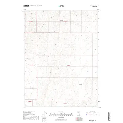
2018 Map of Mule Canyon
USGS Topo · Published 2018About this map
The Shoshone Range dominates this landscape in Lander County, carved by several prominent drainage features including its namesake Mule Canyon and the nearby Deer Canyon to the east. The terrain transitions from these high ridges down into the Whirlwind Valley and the flat reaches of Horse Heaven. In the southern portion of the quadrangle, the dark volcanic flows of the Malpais are clearly delineated against the surrounding desert. Human infrastructure is minimal, represented primarily by Beacon Light Rd, which provides access across the central section of the range. The map illustrates a high-desert environment defined by extreme relief and seasonal watercourses such as Water Canyon, reflecting the characteristic Great Basin topography of northern Nevada.
Find a feature on this map
14 named features on this map. Tap any name to fly to it.
Don’t see what you’re looking for? This feature index may not catch every label — zoom into the map to look around manually.
Map Details
Editions of this 2018 Mule Canyon Map
This is the sole edition of this map. No revisions or reprints were ever made.
Other maps of this area

1949 · Crescent Valley
USGS Topo · 1:62,500

1949 · Mt. Lewis
USGS Topo · 1:62,500

1950 · Mt. Lewis
USGS Topo · 1:62,500

1950 · Crescent Valley
USGS Topo · 1:62,500

1955 · Winnemucca
USGS Topo · 1:250,000

1957 · Dunphy
USGS Topo · 1:62,500

1957 · Battle Mountain
USGS Topo · 1:62,500

1958 · Winnemucca
USGS Topo · 1:250,000

1962 · Winnemucca
USGS Topo · 1:250,000

1985 · Mud Spring Gulch
USGS Topo · 1:24,000