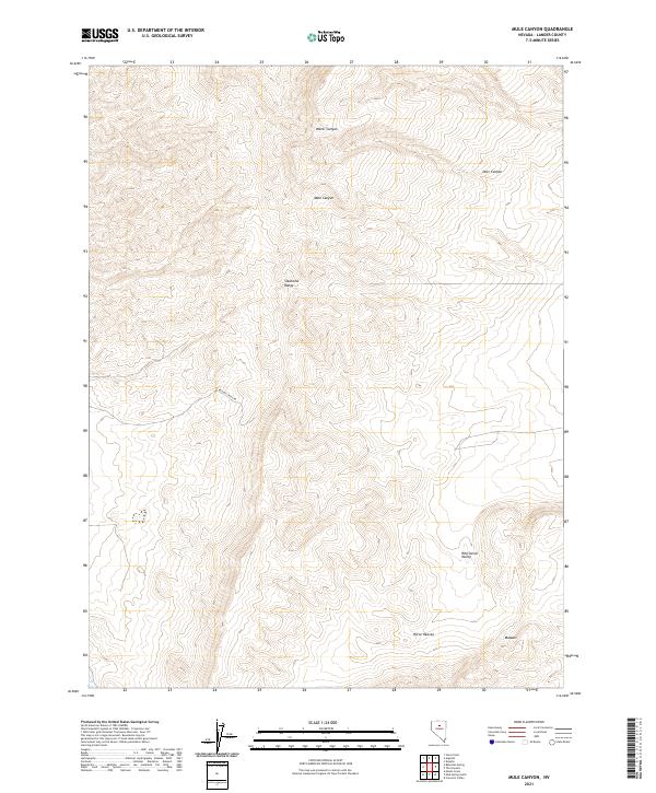
2021 Map of Mule Canyon
USGS Topo · Published 2021About this map
The Shoshone Range dominates this portion of Lander County, Nevada, where the steep relief is defined by numerous drainage systems such as Water Canyon, Mule Canyon, and Deer Canyon. This landscape is characterized by its high-desert topography, with the peaks giving way to the Whirlwind Valley and the flat, volcanic terrain of the Malpais. The naming of Horse Heaven in the southeastern corner suggests the area's history as rangeland or a natural sanctuary for wild horses, while the inclusion of Beacon Light Rd indicates the vital modern infrastructure required for navigation and access across this remote Great Basin interior. This map provides a look at the Public Land Survey System divisions, including Township 31 North, Range 47 East, which organize the vast and sparsely populated high-elevation terrain.
Find a feature on this map
13 named features on this map. Tap any name to fly to it.
Don’t see what you’re looking for? This feature index may not catch every label — zoom into the map to look around manually.
Map Details
Editions of this 2021 Mule Canyon Map
This is the sole edition of this map. No revisions or reprints were ever made.
Other maps of this area

1949 · Crescent Valley
USGS Topo · 1:62,500

1949 · Mt. Lewis
USGS Topo · 1:62,500

1950 · Mt. Lewis
USGS Topo · 1:62,500

1950 · Crescent Valley
USGS Topo · 1:62,500

1955 · Winnemucca
USGS Topo · 1:250,000

1957 · Dunphy
USGS Topo · 1:62,500

1957 · Battle Mountain
USGS Topo · 1:62,500

1958 · Winnemucca
USGS Topo · 1:250,000

1962 · Winnemucca
USGS Topo · 1:250,000

1985 · Mud Spring Gulch
USGS Topo · 1:24,000