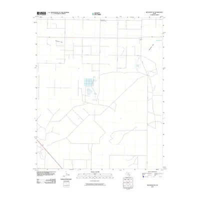
2010 Map of Muleshoe NE
USGS Topo · Published 2010About this map
Pleasant Valley Community House stands as a focal point in this agricultural landscape of Lamb County, where the high plains terrain is defined by the ephemeral waters of the Llano Estacado. The map illustrates a region structured by a rigid grid of county roads, including Co RD 74 and Co RD 94, supporting a local economy tied to cotton and grain production. This is evidenced by the presence of industrial landmarks like Nickels Gin and a Mill situated along the southwestern corridor. Natural depressions in the landscape are marked by Soda Lake and Spring Lake, which along with Blackwater Draw, provided vital drainage and water sources in an otherwise arid environment. The layout of irrigation infrastructure and rural homesteads reveals the persistent patterns of West Texas farming in the early 21st century.
Find a feature on this map
16 named features on this map. Tap any name to fly to it.
Don’t see what you’re looking for? This feature index may not catch every label — zoom into the map to look around manually.
Map Details
Editions of this 2010 Muleshoe NE Map
This is the sole edition of this map. No revisions or reprints were ever made.
Other maps of this area

1954 · Clovis
USGS Topo · 1:250,000

1958 · Clovis
USGS Topo · 1:250,000

1962 · Muleshoe
USGS Topo · 1:24,000

1962 · Needmore
USGS Topo · 1:24,000

1962 · Amherst
USGS Topo · 1:24,000

1962 · Sudan
USGS Topo · 1:24,000

1962 · Muleshoe NE
USGS Topo · 1:24,000

1963 · Earth
USGS Topo · 1:24,000

1963 · Dodd
USGS Topo · 1:24,000

1963 · Lazbuddie SW
USGS Topo · 1:24,000