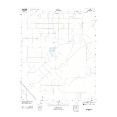
2012 Map of Muleshoe NE
USGS Topo · Published 2012About this map
The Pleasant Valley Community House stands as a focal point in this portion of the Texas Panhandle, anchoring a landscape defined by industrial agriculture and the unique hydrology of the Llano Estacado. The presence of the Nickels Gin reflects the region's enduring cotton economy, while an unnamed Mill situated along a southwest roadway further underscores the importance of local processing infrastructure. Natural depressions in the high plains are evidenced by Spring Lake and Soda Lake, providing critical landmarks in a terrain otherwise dominated by the rigid geometry of the section-line road system. This grid of county roads, including Co RD-64 and Ranch Road 2910, facilitates the movement of goods from the fields to the gins and storage facilities that dot the county.
Find a feature on this map
21 named features on this map. Tap any name to fly to it.
Don’t see what you’re looking for? This feature index may not catch every label — zoom into the map to look around manually.
Map Details
Editions of this 2012 Muleshoe NE Map
This is the sole edition of this map. No revisions or reprints were ever made.
Other maps of this area

1954 · Clovis
USGS Topo · 1:250,000

1958 · Clovis
USGS Topo · 1:250,000

1962 · Muleshoe
USGS Topo · 1:24,000

1962 · Needmore
USGS Topo · 1:24,000

1962 · Amherst
USGS Topo · 1:24,000

1962 · Sudan
USGS Topo · 1:24,000

1962 · Muleshoe NE
USGS Topo · 1:24,000

1963 · Earth
USGS Topo · 1:24,000

1963 · Dodd
USGS Topo · 1:24,000

1963 · Lazbuddie SW
USGS Topo · 1:24,000