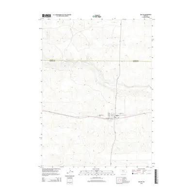
2014 Map of Mullen
USGS Topo · Published 2014About this map
Mullen serves as the focal point of this Sandhills landscape, situated at the junction of Ne-2 and Ne-97. The town's grid is clearly defined by local thoroughfares such as Burlington St, N Mcshane Ave, and N Veteran Ave, reflecting its role as a regional hub for transportation and commerce. To the north, the Middle Loup River carves a winding path across the terrain, marking the boundary between the hills and the river valley.
Find a feature on this map
14 named features on this map. Tap any name to fly to it.
Don’t see what you’re looking for? This feature index may not catch every label — zoom into the map to look around manually.
Map Details
Editions of this 2014 Mullen Map
This is the sole edition of this map. No revisions or reprints were ever made.
Other maps of this area

1947 · Dismal River Ranch
USGS Topo · 1:62,500

1948 · Seneca
USGS Topo · 1:62,500

1948 · Mullen
USGS Topo · 1:62,500

1949 · Dismal River Ranch
USGS Topo · 1:62,500

1950 · Shimmins Lake
USGS Topo · 1:62,500

1951 · Mullen
USGS Topo · 1:62,500

1951 · Seneca
USGS Topo · 1:62,500

1954 · North Platte
USGS Topo · 1:250,000

1956 · North Platte
USGS Topo · 1:250,000

1957 · North Platte
USGS Topo · 1:250,000