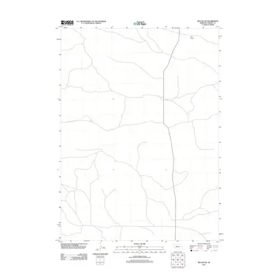
2011 Map of Mullen NE
USGS Topo · Published 2011About this map
Dry Valley defines the northern reaches of this landscape in the sandhills region of Cherry County. The area is characterized by a sparse network of local roads and 4WD trails, reflecting the open and undeveloped nature of the Nebraska interior during the early 21st century. State Route 97 provides the primary north-south corridor through the quadrangle, serving as a vital link for the remote ranching properties and small-scale agricultural operations that rely on these corridors for transit. The mapping of these minor trails and drainage patterns in Dry Valley offers a clear view of how land use and movement are shaped by the natural contours of the valley floor.
Find a feature on this map
2 named features on this map. Tap any name to fly to it.
Don’t see what you’re looking for? This feature index may not catch every label — zoom into the map to look around manually.
Map Details
Editions of this 2011 Mullen NE Map
This is the sole edition of this map. No revisions or reprints were ever made.
Other maps of this area

1948 · Seneca
USGS Topo · 1:62,500

1948 · Mullen
USGS Topo · 1:62,500

1949 · Big Falls
USGS Topo · 1:62,500

1951 · Mullen
USGS Topo · 1:62,500

1951 · Seneca
USGS Topo · 1:62,500

1951 · Big Falls
USGS Topo · 1:62,500

1951 · Bull Lake
USGS Topo · 1:62,500

1957 · Valentine
USGS Topo · 1:250,000

1959 · Valentine
USGS Topo · 1:250,000

1985 · Mullen
USGS Topo · 1:100,000