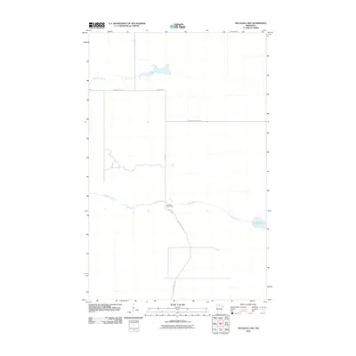
2010 Map of Mulligan Lake
USGS Topo · Published 2010About this map
Mulligan Lake sits at the eastern edge of this northern Minnesota landscape, where the waters of the Roseau River are managed by the Roseau River Dam. This 2010 survey illustrates a quiet, hydraulic environment characterized by the winding path of Hansen Creek and a network of forest access routes. The transportation infrastructure is defined by long, straight thoroughfares such as Dicks Pkwy, Winner Forest Rd, and Faunce-Butterfield Rd, which cut through the terrain to connect remote tracts. The area remains focused on water management and conservation, with the Dicks Parkway Rd providing the primary corridor through these wetlands and woods in Beltrami County.
Find a feature on this map
8 named features on this map. Tap any name to fly to it.
Don’t see what you’re looking for? This feature index may not catch every label — zoom into the map to look around manually.
Map Details
Editions of this 2010 Mulligan Lake Map
This is the sole edition of this map. No revisions or reprints were ever made.
Other maps of this area

1918 · Winterroad
USGS Topo · 1:62,500

1918 · F
USGS Topo · 1:62,500

1918 · Malcolm
USGS Topo · 1:62,500

1954 · Roseau
USGS Topo · 1:250,000

1957 · Roseau
USGS Topo · 1:250,000

1958 · Roseau
USGS Topo · 1:250,000

1968 · Mulligan Lake SW
USGS Topo · 1:24,000
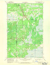
1968 · Mulligan Lake NE
USGS Topo · 1:24,000
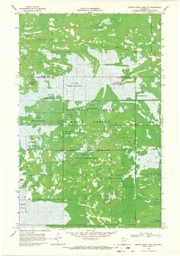
1968 · Winter Road Lake NW
USGS Topo · 1:24,000
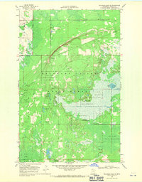
1968 · Mulligan Lake NW
USGS Topo · 1:24,000