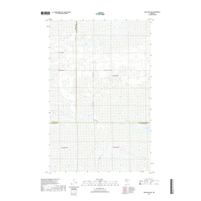
2019 Map of Mulligan Lake
USGS Topo · Published 2019About this map
Mulligan Lake and the winding course of the Roseau River anchor this remote northern landscape where Beltrami, Roseau, and Lake of the Woods counties converge. The terrain is characterized by extensive wetlands and forest management, visible through the grid of established timber and access routes like Winner Forest Rd and Faunce Butterfield Forest Rd. This area reflects the mid-to-late twentieth-century shift toward organized conservation and forest resource management, where primary access depends on long forest roads such as Dicks Pkwy Sw. Notable water features including Hansen Cr feed into the regional drainage system, illustrating the natural hydrology of the Minnesota Northwoods before modern development. The map detail highlights the intersection of township and range lines, providing a precise spatial framework for land ownership and resource tracking in this specialized environmental corridor.
Find a feature on this map
15 named features on this map. Tap any name to fly to it.
Don’t see what you’re looking for? This feature index may not catch every label — zoom into the map to look around manually.
Map Details
Editions of this 2019 Mulligan Lake Map
This is the sole edition of this map. No revisions or reprints were ever made.
Other maps of this area

1918 · Winterroad
USGS Topo · 1:62,500

1918 · F
USGS Topo · 1:62,500

1918 · Malcolm
USGS Topo · 1:62,500

1954 · Roseau
USGS Topo · 1:250,000

1957 · Roseau
USGS Topo · 1:250,000

1958 · Roseau
USGS Topo · 1:250,000

1968 · Mulligan Lake SW
USGS Topo · 1:24,000
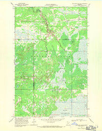
1968 · Mulligan Lake NE
USGS Topo · 1:24,000
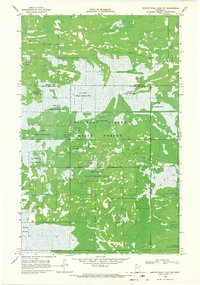
1968 · Winter Road Lake NW
USGS Topo · 1:24,000
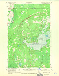
1968 · Mulligan Lake NW
USGS Topo · 1:24,000