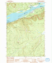
1986 Map of Multnomah Falls
USGS Topo · Published 1994About this map
Multnomah Falls serves as the focal point of this mid-1980s survey, illustrating the dramatic elevation changes along the southern bank of the Columbia River Broughton Reach. The landscape is defined by the steep cliffs of the Columbia River Gorge, where numerous water features like Horsetail Falls, Oneonta Falls, and Triple Falls descend toward the river. To the north, the settlements of Skamania and Skamania Landing sit across from the Oregon side, while the community of Dodson and the rail-aligned Warrendale occupy the narrow terrace between the river and the rising peaks of the Mount Hood National Forest. Local industrial and infrastructure history is marked by a Quarry near Skamania and a Gaging Sta on the river. The map also delineates extensive protected lands, including Beacon Rock State Park and Ainsworth State Park, showing how public conservation shaped this section of the Columbia corridor by the late 20th century.
Find a feature on this map
51 named features on this map. Tap any name to fly to it.
Don’t see what you’re looking for? This feature index may not catch every label — zoom into the map to look around manually.
Map Details
Editions of this 1986 Multnomah Falls Map
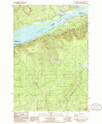
2 editions found
Other maps of this area

1916 · Estacada
USGS Topo · 1:125,000

1924 · Mount Hood
USGS Topo · 1:125,000

1926 · Hood River
USGS Topo · 1:125,000

1927 · Mount Hood
USGS Topo · 1:125,000

1929 · Hood River
USGS Topo · 1:125,000

1948 · Vancouver
USGS Topo · 1:250,000

1950 · Vancouver
USGS Topo · 1:250,000

1950 · Vancouver
USGS Topo · 1:250,000

1953 · The Dalles
USGS Topo · 1:250,000

1954 · Bridal Veil
USGS Topo · 1:62,500