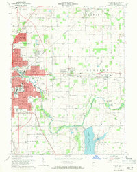
1969 Map of Muncie East
USGS Topo · Published 1971About this map
Muncie expands eastward toward the White River in this late 1960s snapshot of Delaware County development. The city’s residential fringe reaches into neighborhoods like Irvington and Morningside, while the industrial and utility infrastructure is marked by a Filtration Plant and Sewage Disposal facility near the river. Significant land use for education is evident through numerous schools, including Kuhner Jr High Sch and Southside High Sch.
Find a feature on this map
67 named features on this map. Tap any name to fly to it.
Don’t see what you’re looking for? This feature index may not catch every label — zoom into the map to look around manually.
Map Details
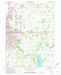
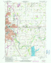
Editions of this 1969 Muncie East Map
3 editions found
Other maps of this area

1952 · Muncie East
USGS Topo · 1:24,000

1952 · Farmland
USGS Topo · 1:24,000

1952 · Muncie West
USGS Topo · 1:24,000

1953 · Muncie
USGS Topo · 1:250,000

1956 · Muncie
USGS Topo · 1:250,000

1960 · Eaton
USGS Topo · 1:24,000

1960 · Mount Pleasant
USGS Topo · 1:24,000

1960 · Wheeling
USGS Topo · 1:24,000

1960 · Sulphur Springs
USGS Topo · 1:24,000
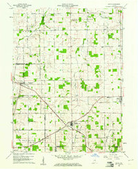
1960 · Modoc
USGS Topo · 1:24,000