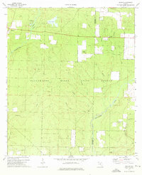
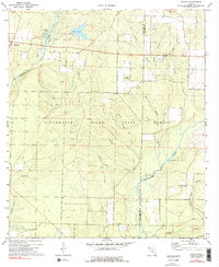
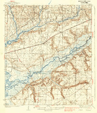
1973 Map of Munson
USGS Topo · Published 1976About this map
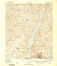
The Blackwater River State Forest dominates this section of the Florida Panhandle, where the boundary between Santa Rosa and Okaloosa counties follows the winding course of the Blackwater River. In the early 1970s, the community of Munson served as a central point for the surrounding timberlands and recreation sites, including the Munson Recreation Area and the nearby Bear Lake campsite. The landscape is defined by a dense network of drainage systems, with family-named or descriptive waterways like Lighter Knot Creek, Poplar Head Branch, and Alligator Creek feeding into the main river channel.
Find a feature on this map
26 named features on this map. Tap any name to fly to it.
Don’t see what you’re looking for? This feature index may not catch every label — zoom into the map to look around manually.
Map Details
Editions of this 1973 Munson Map
3 editions found

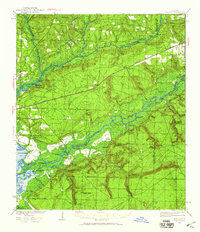
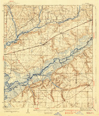
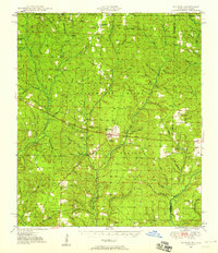
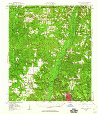
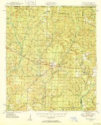
Other maps of this area

1934 · Holt
USGS Topo · 1:48,000
1934 · Harold
USGS Topo · 1:62,500

1937 · Holt
USGS Topo · 1:62,500
1937 · Harold
USGS Topo · 1:62,500
1938 · Harold
USGS Topo · 1:62,500
1948 · Munson
USGS Topo · 1:62,500
1949 · Crestview
USGS Topo · 1:62,500
1950 · Munson
USGS Topo · 1:62,500
1951 · Crestview
USGS Topo · 1:62,500
1956 · Holt
USGS Topo · 1:62,500