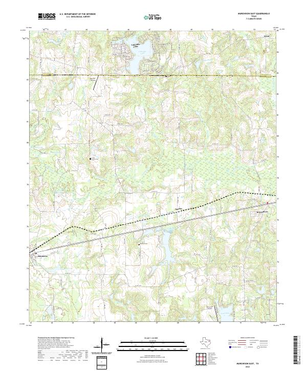
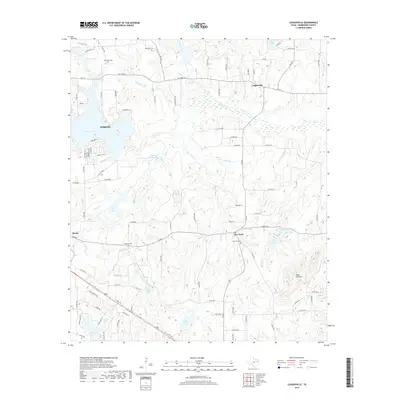
2022 Map of Murchison East
USGS Topo · Published 2022About this map
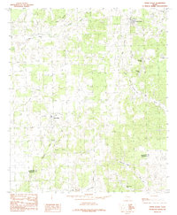
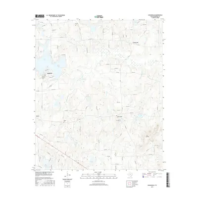
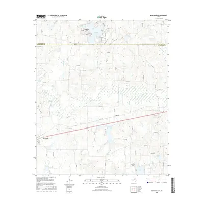
Callender Lake serves as a prominent water feature in the northern reaches of this East Texas landscape, where the Van Zandt Co and Henderson Co lines meet. The terrain is defined by a dense network of tributaries including Kickapoo Cr, Prairie Cr, and Killingworth Br, which flow through a mix of wooded areas and clearings. Established communities like Murchison, Brownsboro, and Opelika anchor the regional road system, while smaller residential developments such as Jordan Acres show modern settlement patterns. Family and community history is preserved at several local burying grounds, including the Ford Family Cem and Asbury Cem. Aviation activity is marked by both the Red Star Airport and Echo Lake Airport, reflecting the rural infrastructure of the area. Large reservoirs like the Bailey Br Reservoir and Pounders Lake highlight the importance of water management in this part of the state.
Find a feature on this map
99 named features on this map. Tap any name to fly to it.
Don’t see what you’re looking for? This feature index may not catch every label — zoom into the map to look around manually.
Map Details
Editions of this 2022 Murchison East Map
This is the sole edition of this map. No revisions or reprints were ever made.
Historical Maps of Brownsboro Through Time
60 maps found
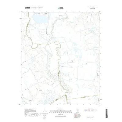
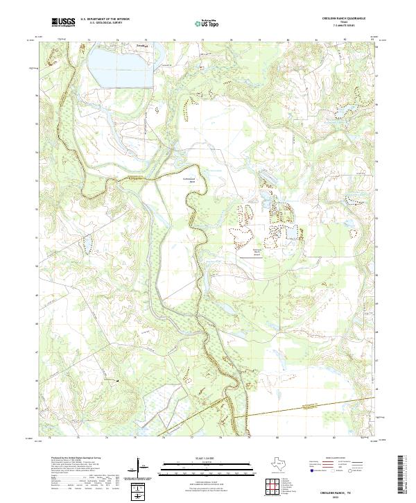
1960 Creslenn Ranch
Henderson County, TX
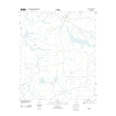
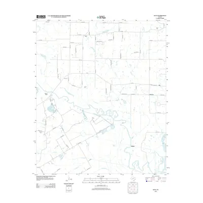
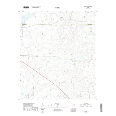
1962 Styx
Henderson County, TX
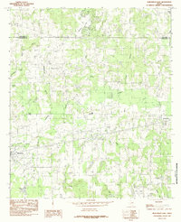
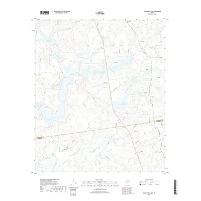
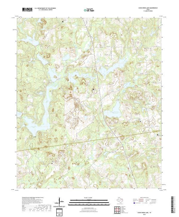
1984 Coon Creek Lake
Henderson County, TX
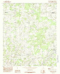
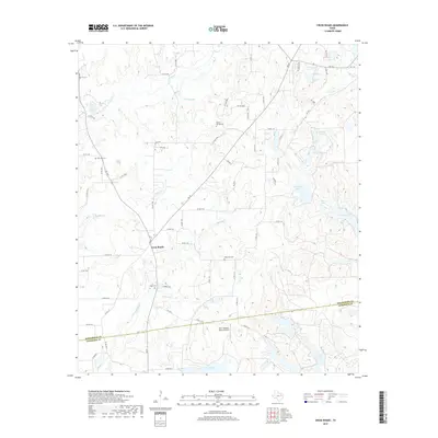
1984 Cross Roads
Henderson County, TX
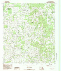
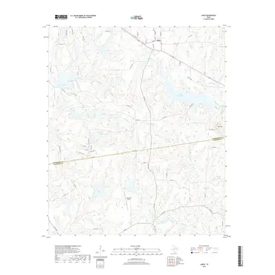
1984 La Rue
Henderson County, TX
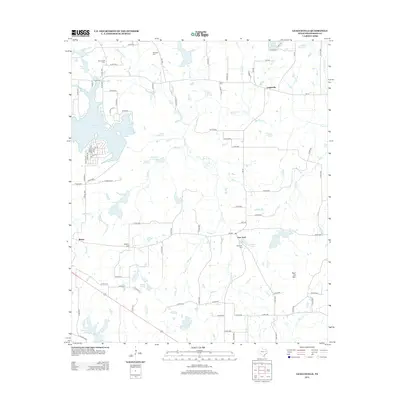
1984 Leagueville
Henderson County, TX
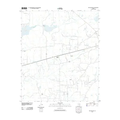
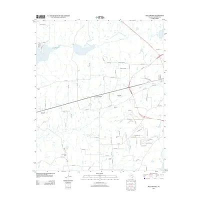
1984 Mallard Hill
Henderson County, TX
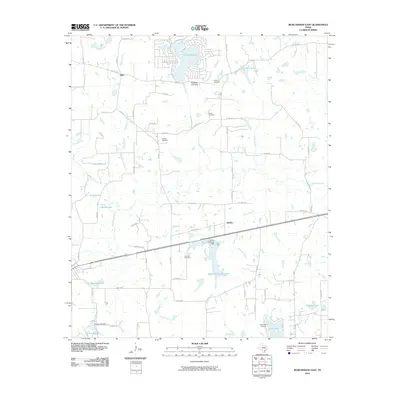
1984 Murchison East
Henderson County, TX
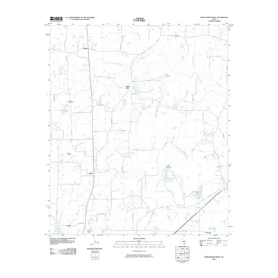
1984 Murchison West
Henderson County, TX
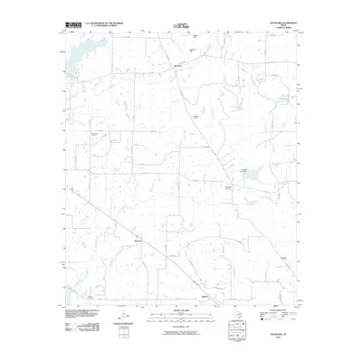
1984 Stockard
Henderson County, TX
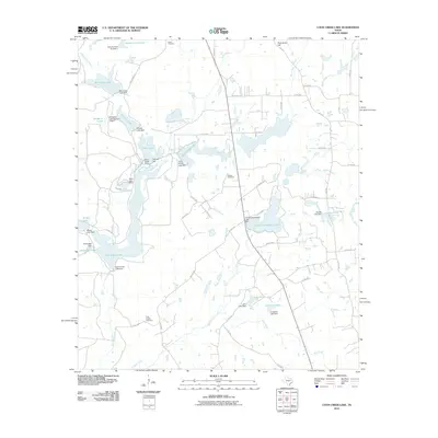
2010 Coon Creek Lake
Henderson County, TX
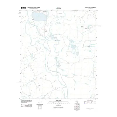
2010 Creslenn Ranch
Henderson County, TX
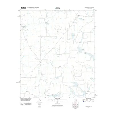
2010 Cross Roads
Henderson County, TX
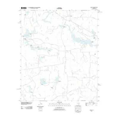
2010 LaRue
Henderson County, TX
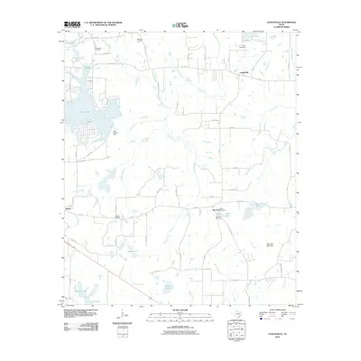
2010 Leagueville
Henderson County, TX
2010 Mallard Hill
Henderson County, TX
2010 Murchison East
Henderson County, TX
2010 Murchison West
Henderson County, TX
2010 Stockard
Henderson County, TX
2010 Styx
Henderson County, TX
2012 Coon Creek Lake
Henderson County, TX
2012 Creslenn Ranch
Henderson County, TX
2012 Cross Roads
Henderson County, TX
2012 LaRue
Henderson County, TX
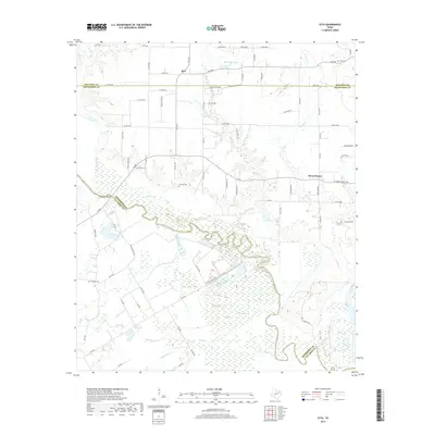
2012 Styx
Henderson County, TX
2013 Leagueville
Henderson County, TX
2013 Mallard Hill
Henderson County, TX
2013 Murchison East
Henderson County, TX

2013 Murchison West
Henderson County, TX
2013 Stockard
Henderson County, TX
2016 Coon Creek Lake
Henderson County, TX
2016 Creslenn Ranch
Henderson County, TX
2016 Cross Roads
Henderson County, TX
2016 LaRue
Henderson County, TX
2016 Leagueville
Henderson County, TX
2016 Mallard Hill
Henderson County, TX
2016 Murchison East
Henderson County, TX
2016 Murchison West
Henderson County, TX
2016 Stockard
Henderson County, TX
2016 Styx
Henderson County, TX
2019 Coon Creek Lake
Henderson County, TX
2019 Creslenn Ranch
Henderson County, TX
2019 Cross Roads
Henderson County, TX
2019 LaRue
Henderson County, TX
2019 Leagueville
Henderson County, TX
2019 Mallard Hill
Henderson County, TX
2019 Murchison East
Henderson County, TX
2019 Murchison West
Henderson County, TX
2019 Stockard
Henderson County, TX
2019 Styx
Henderson County, TX
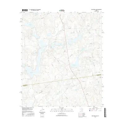
2022 Coon Creek Lake
Henderson County, TX
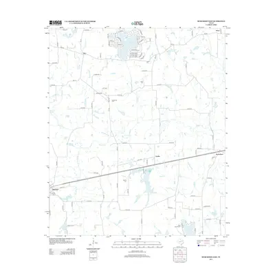
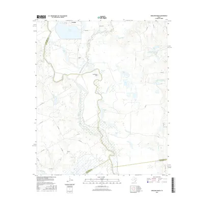
2022 Creslenn Ranch
Henderson County, TX
2022 Cross Roads
Henderson County, TX
2022 LaRue
Henderson County, TX
2022 Leagueville
Henderson County, TX
2022 Mallard Hill
Henderson County, TX
2022 Murchison East
Henderson County, TX
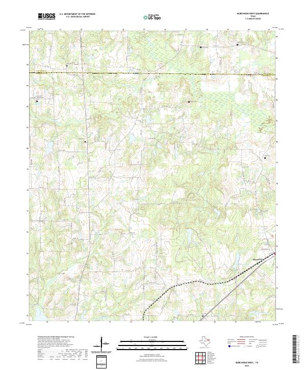
2022 Murchison West
Henderson County, TX
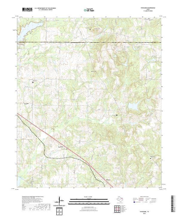
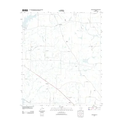
2022 Stockard
Henderson County, TX
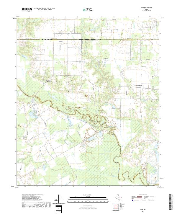
2022 Styx
Henderson County, TX