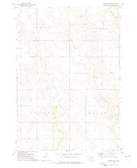
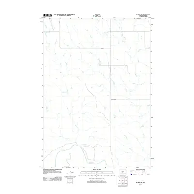
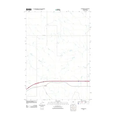
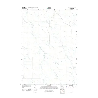
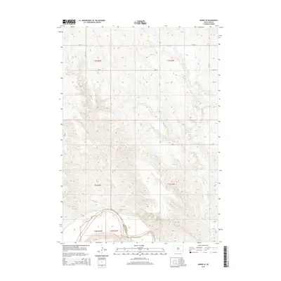
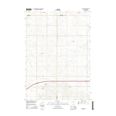
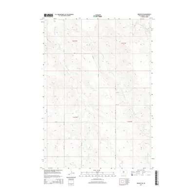
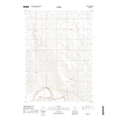
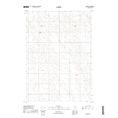
1951 Map of Murdo SW
USGS Topo · Published 1953About this map
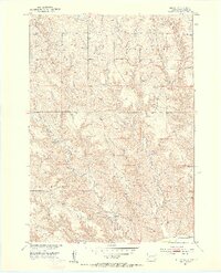
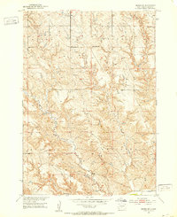
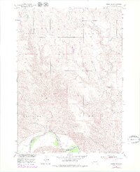
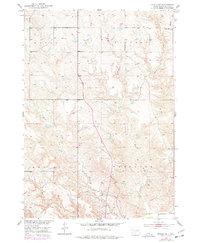
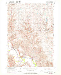
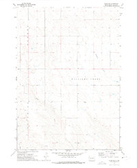
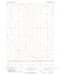
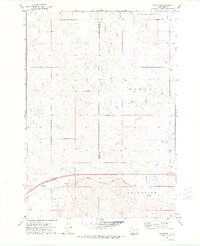
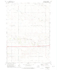
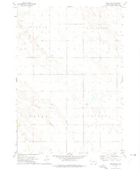
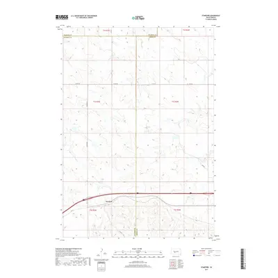
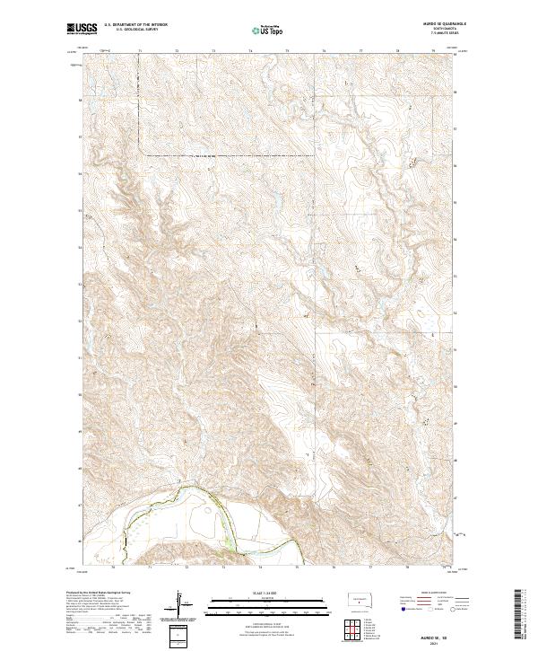
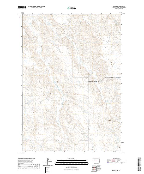
The rolling hills and drainage basins of central South Dakota are meticulously documented in this 1951 study, conducted as part of the Department of the Interior program for the development of the Missouri River Basin. The landscape is defined by the winding paths of Horse Creek and Johnny Creek, which carve through the townships of Buffalo, Mullen, and Westover. This era of the Great Plains is characterized by a sparse but organized settlement pattern, centered around the rural education system. The presence of West Buffalo Sch and East Buffalo Sch highlights the local focal points for ranching families in the mid-twentieth century. Benchmarks such as BM 2227 and BM 1761 provide precise elevation data across the shifting terrain, where the West Fork and East Fork meet the broader watershed of Hay Creek.
Find a feature on this map
18 named features on this map. Tap any name to fly to it.
Don’t see what you’re looking for? This feature index may not catch every label — zoom into the map to look around manually.
Map Details
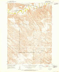
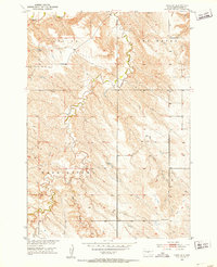
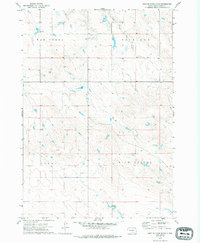
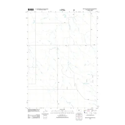
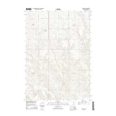
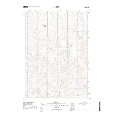
Editions of this 1951 Murdo SW Map
3 editions found
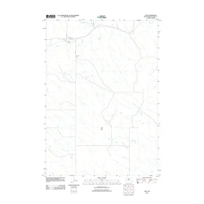
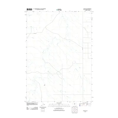
Historical Maps of Jones County Through Time
60 maps found
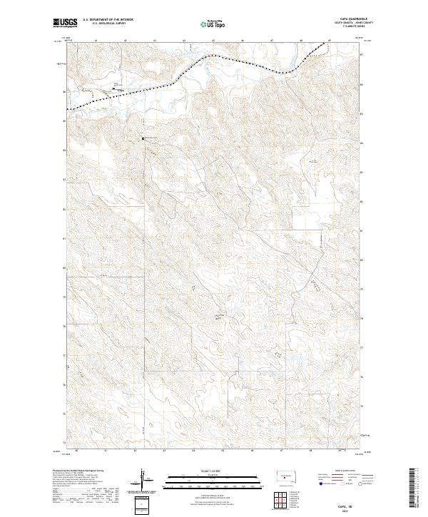
1951 Capa
Jones County, SD
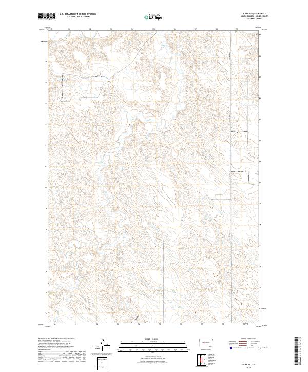
1951 Capa SE
Jones County, SD
1951 Murdo SE
Jones County, SD
1951 Murdo SW
Jones County, SD
1951 Okaton SE
Jones County, SD
1970 Vivian SW
Jones County, SD
1972 Okaton NE
Jones County, SD
1972 Stamford
Jones County, SD
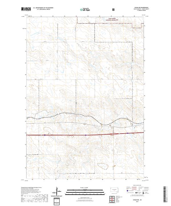
1972 Vivian NW
Jones County, SD
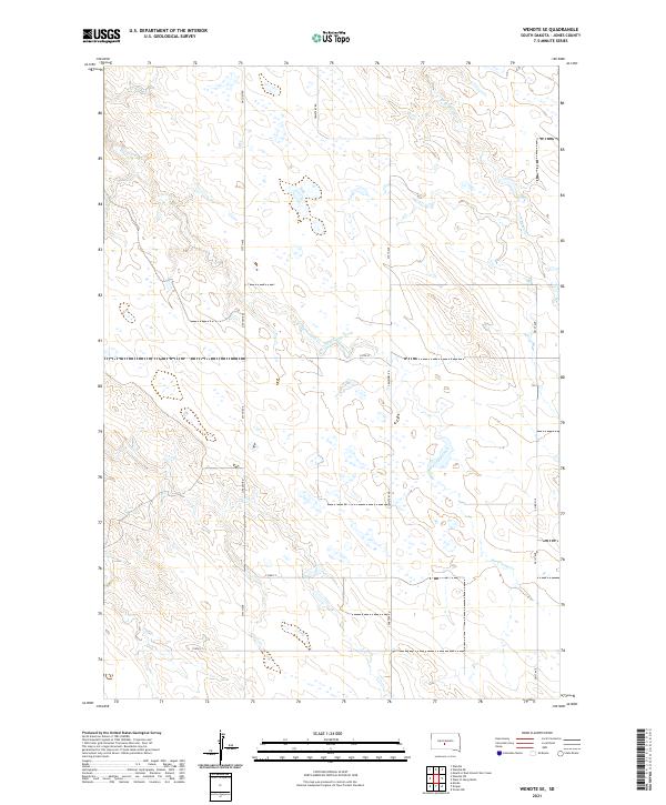
1972 Wendte SE
Jones County, SD
1972 Wendte SW
Jones County, SD
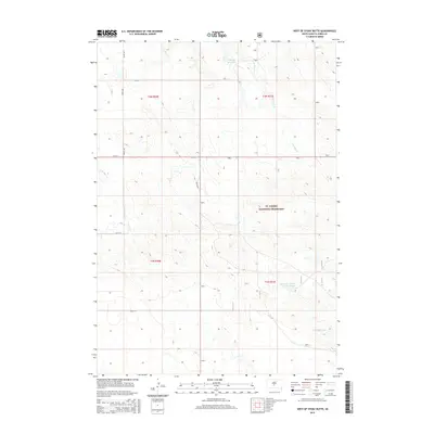
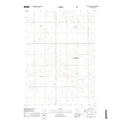
1972 West Of Stony Butte
Jones County, SD
2012 Capa
Jones County, SD
2012 Capa SE
Jones County, SD
2012 Murdo SE
Jones County, SD
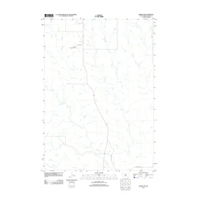
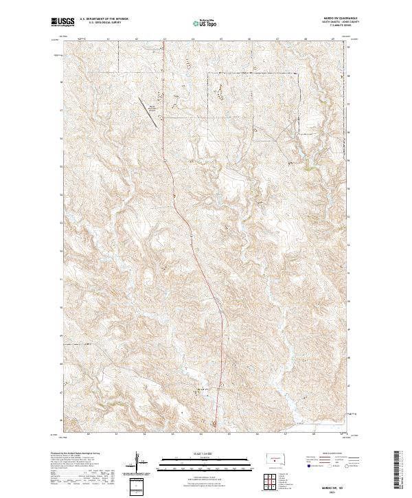
2012 Murdo SW
Jones County, SD
2012 Okaton NE
Jones County, SD
2012 Okaton SE
Jones County, SD
2012 Stamford
Jones County, SD
2012 Vivian NW
Jones County, SD
2012 Vivian SW
Jones County, SD
2012 Wendte SE
Jones County, SD
2012 Wendte SW
Jones County, SD
2012 West of Stony Butte
Jones County, SD
2015 Capa
Jones County, SD
2015 Capa SE
Jones County, SD
2015 Murdo SE
Jones County, SD
2015 Murdo SW
Jones County, SD
2015 Okaton NE
Jones County, SD
2015 Okaton SE
Jones County, SD
2015 Stamford
Jones County, SD
2015 Vivian NW
Jones County, SD
2015 Vivian SW
Jones County, SD
2015 Wendte SE
Jones County, SD
2015 Wendte SW
Jones County, SD
2015 West of Stony Butte
Jones County, SD
2017 Capa
Jones County, SD
2017 Capa SE
Jones County, SD
2017 Murdo SE
Jones County, SD
2017 Murdo SW
Jones County, SD
2017 Okaton NE
Jones County, SD
2017 Okaton SE
Jones County, SD
2017 Stamford
Jones County, SD
2017 Vivian NW
Jones County, SD
2017 Vivian SW
Jones County, SD
2017 Wendte SE
Jones County, SD
2017 Wendte SW
Jones County, SD
2017 West of Stony Butte
Jones County, SD
2021 Capa
Jones County, SD
2021 Capa SE
Jones County, SD
2021 Murdo SE
Jones County, SD
2021 Murdo SW
Jones County, SD
2021 Okaton NE
Jones County, SD
2021 Okaton SE
Jones County, SD
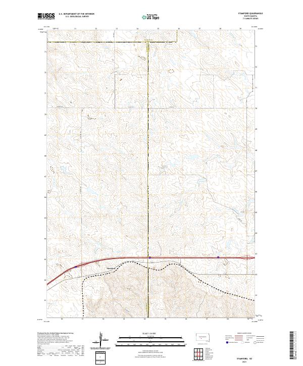
2021 Stamford
Jones County, SD
2021 Vivian NW
Jones County, SD
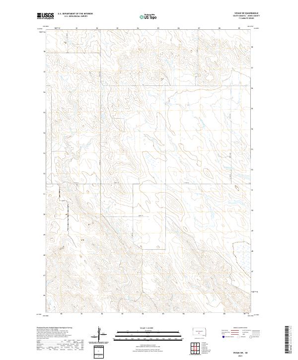
2021 Vivian SW
Jones County, SD
2021 Wendte SE
Jones County, SD
2021 Wendte SW
Jones County, SD
2021 West of Stony Butte
Jones County, SD