
1956 Map of Murdock
USGS Topo · Published 1957About this map
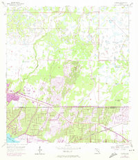
Myakka River wetlands and seasonal sloughs define this mid-century landscape on the border of Sarasota and Charlotte Counties. The settlement of Murdock serves as a focal point in the southeast corner, positioned along the Seaboard Air Line railroad and US Highway 41. The terrain is characterized by an intricate network of water features, including the Big Slough Canal and the natural winding path of Big Slough, alongside numerous flowing wells that signify the region's high water table. Of particular interest to local historians is Little Salt Spring, a significant hydrological and archaeological site. The presence of an Airway Beacon near the highway highlights the importance of this corridor for mid-century navigation, while the vast undeveloped stretches of prairie and marshland reveal the area's character before the intensive residential development of later decades.
Find a feature on this map
12 named features on this map. Tap any name to fly to it.
Don’t see what you’re looking for? This feature index may not catch every label — zoom into the map to look around manually.
Map Details
Editions of this 1956 Murdock Map
3 editions found
Other maps of this area

1944 · Lower Myakka Lake
USGS Topo · 1:31,680

1944 · Myakka River
USGS Topo · 1:31,680

1956 · Murdock SE
USGS Topo · 1:24,000

1956 · Murdock NE
USGS Topo · 1:24,000

1956 · Murdock NW
USGS Topo · 1:24,000

1956 · Englewood
USGS Topo · 1:24,000

1956 · Tampa
USGS Topo · 1:250,000

1956 · Charlotte Harbor
USGS Topo · 1:250,000

1957 · El Jobean
USGS Topo · 1:24,000

1957 · Punta Gorda
USGS Topo · 1:24,000