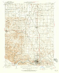
1938 Map of Murphysboro
USGS Topo · Published 1958About this map
Murphysboro serves as the focal point of this 1930s landscape, situated at the bend of the Big Muddy River where the Southern and Mobile and Ohio rail lines converge. The map illustrates a densely settled rural landscape defined by an intricate network of country schools like Sugar Hill School and Cox Prairie School, and community gathering points such as Grange Hall. To the west, the elevation rises toward Fountain Bluff, while the central and eastern sections are marked by smaller railroad stops including Vergennes, Oraville, and Texas Junction.
Find a feature on this map
66 named features on this map. Tap any name to fly to it.
Don’t see what you’re looking for? This feature index may not catch every label — zoom into the map to look around manually.
Map Details
Editions of this 1938 Murphysboro Map
This is the sole edition of this map. No revisions or reprints were ever made.
Other maps of this area
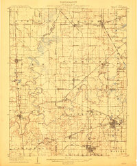
1910 · Herrin
USGS Topo · 1:62,500
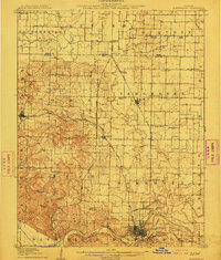
1910 · Murphysboro
USGS Topo · 1:62,500
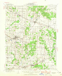
1914 · Coulterville
USGS Topo · 1:62,500
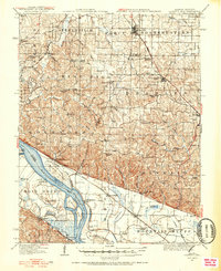
1916 · Campbell Hill
USGS Topo · 1:62,500
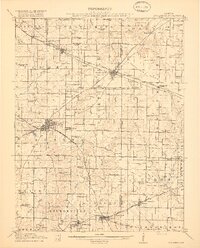
1917 · Coulterville
USGS Topo · 1:62,500
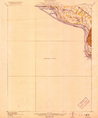
1918 · Altenburg
USGS Topo · 1:62,500
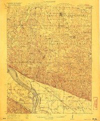
1918 · Campbell Hill
USGS Topo · 1:62,500
1922 · Carbondale
USGS Topo · 1:62,500
1924 · Alto Pass
USGS Topo · 1:62,500
1924 · Pinckneyville
USGS Topo · 1:62,500