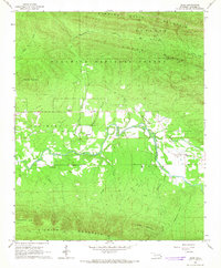
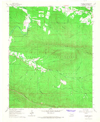
1966 Map of Muse
USGS Topo · Published 1967About this map
The Kiamichi River valley defines the central corridor of this mid-1960s survey, flanked by the massive elevations of Winding Stair Mountain to the north and Kiamichi Mountain to the south. Small settlements like Lenox and Muse are positioned along the river's lower slopes, serving as hubs for the surrounding timber and agricultural lands within the Ouachita National Forest. Local history is visible in landmarks such as James Chapel and the nearby Cem, which provide specific points of interest for genealogical research.
Find a feature on this map
28 named features on this map. Tap any name to fly to it.
Don’t see what you’re looking for? This feature index may not catch every label — zoom into the map to look around manually.
Map Details
Editions of this 1966 Muse Map
2 editions found
Other maps of this area

1900 · Winding Stair
USGS Topo · 1:125,000

1909 · Winding Stair
USGS Topo · 1:125,000

1950 · Mcalester
USGS Topo · 1:250,000

1959 · Page
USGS Topo · 1:62,500

1959 · Heavener
USGS Topo · 1:62,500

1962 · McAlester
USGS Topo · 1:250,000

1965 · McAlester
USGS Topo · 1:250,000
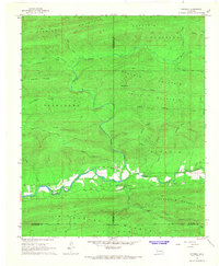
1966 · Honobia
USGS Topo · 1:24,000
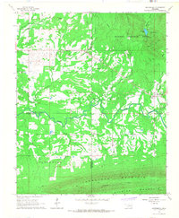
1966 · Whitesboro
USGS Topo · 1:24,000
1966 · Leflore SE
USGS Topo · 1:24,000